Area Overview for SM7 2JQ
Photos of SM7 2JQ
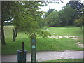
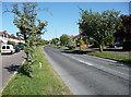
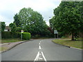
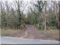
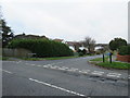
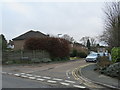
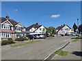
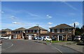
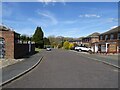
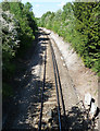
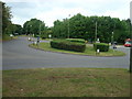
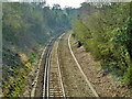
33 photos from this area
Area Information
Key information about the SM7 2JQ including its size, population, and administrative classification.
- Area Type
- Postcode
- Area Size
- 2.4 hectares
- Population
- 1589
- Population Density
- 3345 people/km²
House Prices in SM7 2JQ
37
Properties
£502,898
Average Sold Price
£141,000
Lowest Price
£875,000
Highest Price
Showing 37 properties
| Address | Type | Beds | Baths | Last Sale Price | Last Sale Date | |
|---|---|---|---|---|---|---|
| 90 Greenhayes Avenue, Banstead, SM7 2JQ | Semi-detached | 5 | 3 | £875,000 | Aug 2025 | |
| 116 Greenhayes Avenue, Banstead, SM7 2JQ | house | - | - | £585,000 | Dec 2024 | |
| 112 Greenhayes Avenue, Banstead, SM7 2JQ | Semi-detached | 5 | 3 | £825,000 | Aug 2024 | |
| 120 Greenhayes Avenue, Banstead, SM7 2JQ | Semi-detached | 3 | 1 | £610,000 | Jun 2024 | |
| 68 Greenhayes Avenue, Banstead, SM7 2JQ | Semi-detached | 4 | 1 | £681,000 | Feb 2023 | |
| 52 Greenhayes Avenue, Banstead, SM7 2JQ | Semi-detached | 4 | 3 | £757,000 | Feb 2023 | |
| 100 Greenhayes Avenue, Banstead, SM7 2JQ | Detached | 3 | 2 | £685,000 | Jan 2022 | |
| 70 Greenhayes Avenue, Banstead, SM7 2JQ | house | - | - | £580,000 | Dec 2021 | |
| 96 Greenhayes Avenue, Banstead, SM7 2JQ | Semi-detached | 3 | 1 | £545,000 | Apr 2021 | |
| 62 Greenhayes Avenue, Banstead, SM7 2JQ | house | - | - | £500,000 | Jan 2021 |
Page 1 of 4
Energy Efficiency in SM7 2JQ
Amenities
Schools
| Rank | School | Type | Entry gender | Ages |
|---|
Explore more schools in this area
Go to Schools tabDemographics
Household Size
One person
most common
Accommodation Type
Flats
most common
Tenure
71
majority
Ethnic Group
White
most common
Religion
N/A
most common
Household Composition
N/A
most common
Age
47
median
Adults (30-64 years)
most common
Household Deprivation
N/A
with no deprivation
NS-SEC
39
in Lower managerial occupations
Explore more demographic insights in this area
Go to Demographics tabPlanning
Planning Constraints
- Flood RiskPremium
- Ramsar Wetland SitesPremium
- Area of Outstanding Natural BeautyPremium
- Protected Nature ReservePremium
- Protected WoodlandPremium