Area Overview for SM7 2JH
Photos of SM7 2JH
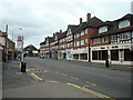
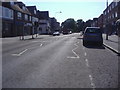
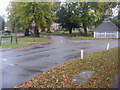
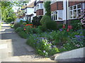
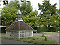
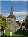
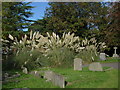
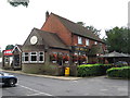
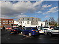
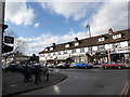
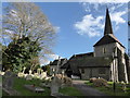
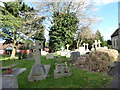
58 photos from this area
Area Information
Key information about the SM7 2JH including its size, population, and administrative classification.
- Area Type
- Postcode
- Area Size
- 8418 m²
- Population
- 1589
- Population Density
- 3345 people/km²
House Prices in SM7 2JH
18
Properties
£412,029
Average Sold Price
£152,000
Lowest Price
£742,500
Highest Price
Showing 18 properties
| Address | Type | Beds | Baths | Last Sale Price | Last Sale Date | |
|---|---|---|---|---|---|---|
| 7 Kingsley Avenue, Banstead, SM7 2JH | Semi-detached | 3 | 1 | £690,000 | Jul 2025 | |
| 4 Kingsley Avenue, Banstead, SM7 2JH | Semi-detached | 3 | 1 | £625,000 | Nov 2024 | |
| 21 Kingsley Avenue, Banstead, SM7 2JH | house | - | - | £742,500 | May 2021 | |
| 5 Kingsley Avenue, Banstead, SM7 2JH | Semi-detached | 3 | 1 | £532,500 | Feb 2019 | |
| 11 Kingsley Avenue, Banstead, SM7 2JH | Semi-detached | 3 | - | £536,500 | Oct 2015 | |
| 1 Kingsley Avenue, Banstead, SM7 2JH | Bungalow | 2 | 1 | £425,000 | Nov 2013 | |
| 19 Kingsley Avenue, Banstead, SM7 2JH | house | - | - | £430,000 | Feb 2010 | |
| 12 Kingsley Avenue, Banstead, SM7 2JH | Bungalow | 2 | 2 | £292,500 | Sep 2009 | |
| 2 Kingsley Avenue, Banstead, SM7 2JH | Detached | - | - | £380,000 | Nov 2004 | |
| 10 Kingsley Avenue, Banstead, SM7 2JH | Semi-detached | - | - | £322,500 | Jun 2004 |
Page 1 of 2
Energy Efficiency in SM7 2JH
Amenities
Schools
| Rank | School | Type | Entry gender | Ages |
|---|
Explore more schools in this area
Go to Schools tabDemographics
Household Size
One person
most common
Accommodation Type
Flats
most common
Tenure
71
majority
Ethnic Group
White
most common
Religion
N/A
most common
Household Composition
N/A
most common
Age
47
median
Adults (30-64 years)
most common
Household Deprivation
N/A
with no deprivation
NS-SEC
39
in Lower managerial occupations
Explore more demographic insights in this area
Go to Demographics tabPlanning
Planning Constraints
- Flood RiskPremium
- Ramsar Wetland SitesPremium
- Area of Outstanding Natural BeautyPremium
- Protected Nature ReservePremium
- Protected WoodlandPremium