Area Overview for SM7 2BJ
Photos of SM7 2BJ
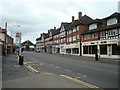
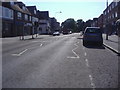
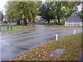
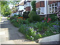
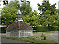
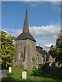
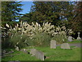
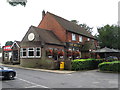
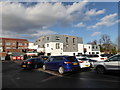
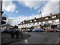
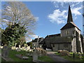
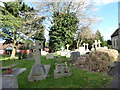
58 photos from this area
Area Information
Key information about the SM7 2BJ including its size, population, and administrative classification.
- Area Type
- Postcode
- Area Size
- 3.9 hectares
- Population
- 1239
- Population Density
- 1730 people/km²
House Prices in SM7 2BJ
14
Properties
£766,023
Average Sold Price
£260,000
Lowest Price
£1,500,000
Highest Price
Showing 14 properties
| Address | Type | Beds | Baths | Last Sale Price | Last Sale Date | |
|---|---|---|---|---|---|---|
| The Briars, Kenilworth Close, Banstead, SM7 2BJ | Retail | 4 | 2 | £1,210,000 | Dec 2023 | |
| Greenbanks, Kenilworth Close, Banstead, SM7 2BJ | house | 5 | 3 | £1,500,000 | Dec 2023 | |
| Red Gables, Kenilworth Close, Banstead, SM7 2BJ | Retail | 4 | 2 | £1,157,000 | Mar 2022 | |
| Bearwood, Kenilworth Close, Banstead, SM7 2BJ | Detached | 4 | 2 | £462,500 | Feb 2021 | |
| Knole, Kenilworth Close, Banstead, SM7 2BJ | Detached | 5 | 2 | £990,000 | Jan 2021 | |
| Treetops, Kenilworth Close, Banstead, SM7 2BJ | Detached | - | - | £625,000 | Oct 2008 | |
| White Lillies, Kenilworth Close, Banstead, SM7 2BJ | Detached | 4 | 4 | £730,000 | Jan 2007 | |
| Oakwood, Kenilworth Close, Banstead, SM7 2BJ | house | 4 | - | £445,000 | Mar 2005 | |
| Ky Lyn, Kenilworth Close, Banstead, SM7 2BJ | Detached | - | - | £723,000 | Sep 2004 | |
| Bent Oaks, Kenilworth Close, Banstead, SM7 2BJ | Detached | - | - | £323,750 | Jun 2001 |
Page 1 of 2
Energy Efficiency in SM7 2BJ
Amenities
Schools
| Rank | School | Type | Entry gender | Ages |
|---|
Explore more schools in this area
Go to Schools tabDemographics
Household Size
Two person
most common
Accommodation Type
Houses
most common
Tenure
90
majority
Ethnic Group
White
most common
Religion
N/A
most common
Household Composition
N/A
most common
Age
47
median
Adults (30-64 years)
most common
Household Deprivation
N/A
with no deprivation
NS-SEC
48
in Lower managerial occupations
Explore more demographic insights in this area
Go to Demographics tabPlanning
Planning Constraints
- Flood RiskPremium
- Ramsar Wetland SitesPremium
- Area of Outstanding Natural BeautyPremium
- Protected Nature ReservePremium
- Protected WoodlandPremium