Area Overview for SM7 2BE
Photos of SM7 2BE
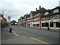
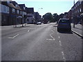
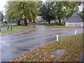
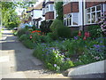
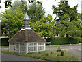
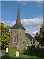
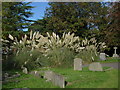
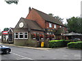
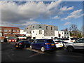
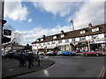
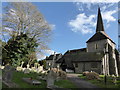
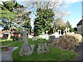
58 photos from this area
Area Information
Key information about the SM7 2BE including its size, population, and administrative classification.
- Area Type
- Postcode
- Area Size
- 3.0 hectares
- Population
- 1239
- Population Density
- 1730 people/km²
House Prices in SM7 2BE
24
Properties
£686,542
Average Sold Price
£332,000
Lowest Price
£1,012,500
Highest Price
Showing 24 properties
| Address | Type | Beds | Baths | Last Sale Price | Last Sale Date | |
|---|---|---|---|---|---|---|
| 128 Holly Lane East, Banstead, SM7 2BE | Detached | 5 | 2 | £1,000,000 | Oct 2024 | |
| 114 Holly Lane East, Banstead, SM7 2BE | Detached | 4 | 2 | £1,012,500 | Oct 2024 | |
| 133 Holly Lane East, Banstead, SM7 2BE | house | - | - | £970,000 | Mar 2021 | |
| 113 Holly Lane East, Banstead, SM7 2BE | Detached | 4 | 2 | £710,000 | Aug 2019 | |
| 131 Holly Lane East, Banstead, SM7 2BE | house | - | - | £925,000 | Nov 2018 | |
| 119 Holly Lane East, Banstead, SM7 2BE | house | - | - | £828,000 | Jul 2015 | |
| 123 Holly Lane East, Banstead, SM7 2BE | house | 4 | - | £590,000 | Nov 2012 | |
| 126 Holly Lane East, Banstead, SM7 2BE | Detached | - | - | £475,000 | May 2007 | |
| 121 Holly Lane East, Banstead, SM7 2BE | Detached | - | - | £518,000 | Aug 2005 | |
| 129 Holly Lane East, Banstead, SM7 2BE | Detached | - | - | £458,000 | Jul 2003 |
Page 1 of 3
Energy Efficiency in SM7 2BE
Amenities
Schools
| Rank | School | Type | Entry gender | Ages |
|---|
Explore more schools in this area
Go to Schools tabDemographics
Household Size
Two person
most common
Accommodation Type
Houses
most common
Tenure
90
majority
Ethnic Group
White
most common
Religion
N/A
most common
Household Composition
N/A
most common
Age
47
median
Adults (30-64 years)
most common
Household Deprivation
N/A
with no deprivation
NS-SEC
48
in Lower managerial occupations
Explore more demographic insights in this area
Go to Demographics tabPlanning
Planning Constraints
- Flood RiskPremium
- Ramsar Wetland SitesPremium
- Area of Outstanding Natural BeautyPremium
- Protected Nature ReservePremium
- Protected WoodlandPremium