Area Overview for SM7 1LT
Photos of SM7 1LT
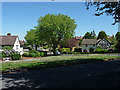
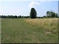
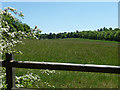
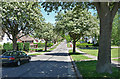
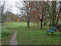
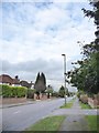
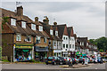
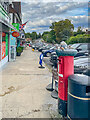
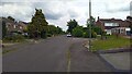
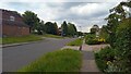

27 photos from this area
Area Information
Key information about the SM7 1LT including its size, population, and administrative classification.
- Area Type
- Postcode
- Area Size
- 1.5 hectares
- Population
- 1512
- Population Density
- 3562 people/km²
House Prices in SM7 1LT
27
Properties
£452,579
Average Sold Price
£157,500
Lowest Price
£750,000
Highest Price
Showing 27 properties
| Address | Type | Beds | Baths | Last Sale Price | Last Sale Date | |
|---|---|---|---|---|---|---|
| 145 Warren Road, Banstead, SM7 1LT | Semi-detached | 2 | 1 | £535,000 | Mar 2025 | |
| 153 Warren Road, Banstead, SM7 1LT | Detached | 4 | 2 | £685,000 | Dec 2023 | |
| 141 Warren Road, Banstead, SM7 1LT | Semi-detached | 2 | 1 | £750,000 | Jan 2023 | |
| 137 Warren Road, Banstead, SM7 1LT | Semi-detached | 3 | 1 | £625,000 | Dec 2022 | |
| 121 Warren Road, Banstead, SM7 1LT | Retail | 2 | 1 | £505,000 | Oct 2022 | |
| 133 Warren Road, Banstead, SM7 1LT | Semi-detached | 4 | 2 | £675,500 | Jun 2020 | |
| 131 Warren Road, Banstead, SM7 1LT | Semi-detached | 4 | 2 | £595,000 | Jan 2020 | |
| 117 Warren Road, Banstead, SM7 1LT | Semi-detached | 4 | 2 | £600,000 | Dec 2019 | |
| 159 Warren Road, Banstead, SM7 1LT | Semi-detached | 2 | 1 | £485,000 | Nov 2019 | |
| 129 Warren Road, Banstead, SM7 1LT | house | 3 | 1 | £605,000 | Apr 2018 |
Page 1 of 3
Energy Efficiency in SM7 1LT
Amenities
Schools
| Rank | School | Type | Entry gender | Ages |
|---|
Explore more schools in this area
Go to Schools tabDemographics
Household Size
Family (3-5 people)
most common
Accommodation Type
Houses
most common
Tenure
93
majority
Ethnic Group
White
most common
Religion
N/A
most common
Household Composition
N/A
most common
Age
47
median
Adults (30-64 years)
most common
Household Deprivation
N/A
with no deprivation
NS-SEC
47
in Lower managerial occupations
Explore more demographic insights in this area
Go to Demographics tabPlanning
Planning Constraints
- Flood RiskPremium
- Ramsar Wetland SitesPremium
- Area of Outstanding Natural BeautyPremium
- Protected Nature ReservePremium
- Protected WoodlandPremium