Area Overview for KT17 3AJ
Photos of KT17 3AJ
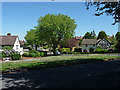
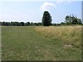
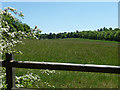
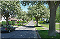
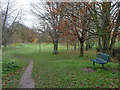
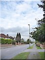
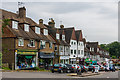
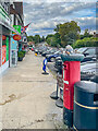
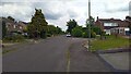
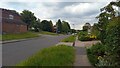
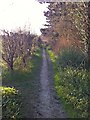

27 photos from this area
Area Information
Key information about the KT17 3AJ including its size, population, and administrative classification.
- Area Type
- Postcode
- Area Size
- 8055 m²
- Population
- Not available
- Population Density
- Not available
House Prices in KT17 3AJ
9
Properties
£672,857
Average Sold Price
£485,000
Lowest Price
£825,000
Highest Price
Showing 9 properties
| Address | Type | Beds | Baths | Last Sale Price | Last Sale Date | |
|---|---|---|---|---|---|---|
| 7 Warren Farm Close, Epsom Downs, KT17 3AJ | Detached | 4 | 2 | £815,000 | Jul 2024 | |
| 6 Warren Farm Close, Epsom Downs, KT17 3AJ | house | - | - | £825,000 | Feb 2020 | |
| 2 Warren Farm Close, Epsom Downs, KT17 3AJ | Detached | 4 | 2 | £760,000 | Sep 2018 | |
| 1 Warren Farm Close, Epsom Downs, KT17 3AJ | Detached | 4 | 2 | £575,000 | Oct 2012 | |
| 5 Warren Farm Close, Epsom Downs, KT17 3AJ | house | - | - | £485,000 | Mar 2011 | |
| 3 Warren Farm Close, Epsom Downs, KT17 3AJ | Detached | 4 | 3 | £635,000 | Dec 2010 | |
| 4 Warren Farm Close, Epsom Downs, KT17 3AJ | house | - | - | £615,000 | Sep 2010 | |
| Amberwood, 5A Warren Farm Close, Epsom Downs, KT17 3AJ | Detached | 4 | - | - | - | |
| Copperwood, 5B Warren Farm Close, Epsom Downs, KT17 3AJ | house | - | - | - | - |
Energy Efficiency in KT17 3AJ
Amenities
Schools
| Rank | School | Type | Entry gender | Ages |
|---|
Explore more schools in this area
Go to Schools tabDemographics
Household Size
Family (3-5 people)
most common
Accommodation Type
Houses
most common
Tenure
85
majority
Ethnic Group
White
most common
Religion
N/A
most common
Household Composition
N/A
most common
Age
47
median
Adults (30-64 years)
most common
Household Deprivation
N/A
with no deprivation
NS-SEC
44
in Lower managerial occupations
Explore more demographic insights in this area
Go to Demographics tabPlanning
Planning Constraints
- Flood RiskPremium
- Ramsar Wetland SitesPremium
- Area of Outstanding Natural BeautyPremium
- Protected Nature ReservePremium
- Protected WoodlandPremium