Area Overview for SL7 3JX
Photos of SL7 3JX
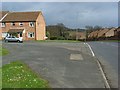
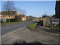
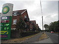
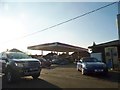
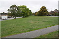
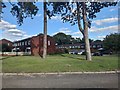
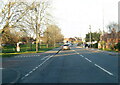
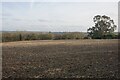
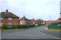
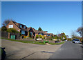
25 photos from this area
Area Information
Key information about the SL7 3JX including its size, population, and administrative classification.
- Area Type
- Postcode
- Area Size
- 1.4 hectares
- Population
- 1317
- Population Density
- 3503 people/km²
House Prices in SL7 3JX
21
Properties
£462,788
Average Sold Price
£139,000
Lowest Price
£755,000
Highest Price
Showing 21 properties
| Address | Type | Beds | Baths | Last Sale Price | Last Sale Date | |
|---|---|---|---|---|---|---|
| 43 Hillside Road, Marlow, SL7 3JX | house | - | - | £710,552 | May 2022 | |
| 35 Hillside Road, Marlow, SL7 3JX | Semi-detached | 3 | 2 | £630,000 | Oct 2019 | |
| 53 Hillside Road, Marlow, SL7 3JX | house | - | - | £755,000 | Aug 2018 | |
| 23 Hillside Road, Marlow, SL7 3JX | Semi-detached | 3 | 1 | £579,950 | Nov 2017 | |
| 51 Hillside Road, Marlow, SL7 3JX | house | - | - | £445,000 | Jul 2014 | |
| 55 Hillside Road, Marlow, SL7 3JX | house | - | - | £460,000 | Feb 2014 | |
| 47 Hillside Road, Marlow, SL7 3JX | house | - | - | £404,000 | Sep 2012 | |
| 27 Hillside Road, Marlow, SL7 3JX | Semi-detached | - | - | £339,950 | Apr 2008 | |
| 33 Hillside Road, Marlow, SL7 3JX | Semi-detached | - | - | £325,000 | May 2007 | |
| 15 Hillside Road, Marlow, SL7 3JX | Semi-detached | 3 | - | £395,000 | Jan 2007 |
Page 1 of 3
Energy Efficiency in SL7 3JX
Amenities
Schools
| Rank | School | Type | Entry gender | Ages |
|---|
Explore more schools in this area
Go to Schools tabDemographics
Household Size
Family (3-5 people)
most common
Accommodation Type
Houses
most common
Tenure
90
majority
Ethnic Group
White
most common
Religion
N/A
most common
Household Composition
N/A
most common
Age
47
median
Adults (30-64 years)
most common
Household Deprivation
N/A
with no deprivation
NS-SEC
50
in Lower managerial occupations
Explore more demographic insights in this area
Go to Demographics tabPlanning
Planning Constraints
- Flood RiskPremium
- Ramsar Wetland SitesPremium
- Area of Outstanding Natural BeautyPremium
- Protected Nature ReservePremium
- Protected WoodlandPremium