Area Overview for SL7 3LD
Photos of SL7 3LD
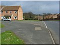
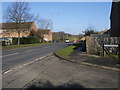
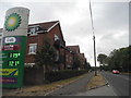
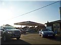
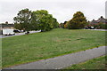
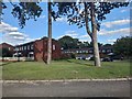
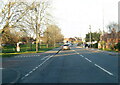
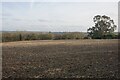
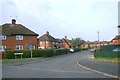
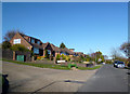
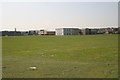
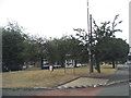
25 photos from this area
Area Information
Key information about the SL7 3LD including its size, population, and administrative classification.
- Area Type
- Postcode
- Area Size
- 2.5 hectares
- Population
- 1317
- Population Density
- 3503 people/km²
House Prices in SL7 3LD
31
Properties
£450,840
Average Sold Price
£143,250
Lowest Price
£875,000
Highest Price
Showing 31 properties
| Address | Type | Beds | Baths | Last Sale Price | Last Sale Date | |
|---|---|---|---|---|---|---|
| 1 Woodland Way, Marlow, SL7 3LD | house | - | - | £875,000 | May 2025 | |
| 13 Woodland Way, Marlow, SL7 3LD | house | - | - | £630,000 | Dec 2021 | |
| 11 Woodland Way, Marlow, SL7 3LD | house | - | - | £665,000 | Jun 2021 | |
| 4 Woodland Way, Marlow, SL7 3LD | house | 4 | - | £545,000 | Dec 2020 | |
| 29 Woodland Way, Marlow, SL7 3LD | house | - | - | £635,000 | Nov 2020 | |
| 19 Woodland Way, Marlow, SL7 3LD | Semi-detached | 3 | 2 | £600,000 | Aug 2020 | |
| Bluebell Lodge, Woodland Way, Marlow, SL7 3LD | Detached | 4 | 2 | £835,000 | Aug 2018 | |
| 6 Woodland Way, Marlow, SL7 3LD | house | 3 | - | £617,500 | May 2017 | |
| 14 Woodland Way, Marlow, SL7 3LD | Detached | 4 | 2 | £572,000 | Aug 2015 | |
| 2 Woodland Way, Marlow, SL7 3LD | Semi-detached | 3 | 1 | £439,950 | Mar 2015 |
Page 1 of 4
Energy Efficiency in SL7 3LD
Amenities
Schools
| Rank | School | Type | Entry gender | Ages |
|---|
Explore more schools in this area
Go to Schools tabDemographics
Household Size
Family (3-5 people)
most common
Accommodation Type
Houses
most common
Tenure
90
majority
Ethnic Group
White
most common
Religion
N/A
most common
Household Composition
N/A
most common
Age
47
median
Adults (30-64 years)
most common
Household Deprivation
N/A
with no deprivation
NS-SEC
50
in Lower managerial occupations
Explore more demographic insights in this area
Go to Demographics tabPlanning
Planning Constraints
- Flood RiskPremium
- Ramsar Wetland SitesPremium
- Area of Outstanding Natural BeautyPremium
- Protected Nature ReservePremium
- Protected WoodlandPremium