Area Overview for SL3 8JD
Photos of SL3 8JD
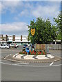
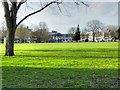
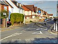


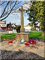
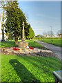
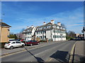
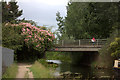

43 photos from this area
Area Information
Key information about the SL3 8JD including its size, population, and administrative classification.
- Area Type
- Postcode
- Area Size
- 5892 m²
- Population
- 1864
- Population Density
- 4251 people/km²
House Prices in SL3 8JD
44
Properties
£123,334
Average Sold Price
£37,000
Lowest Price
£293,000
Highest Price
Showing 44 properties
| Address | Type | Beds | Baths | Last Sale Price | Last Sale Date | |
|---|---|---|---|---|---|---|
| 121 Mead Avenue, Slough, SL3 8JD | Maisonette | 1 | 1 | £128,000 | Oct 2025 | |
| 199 Mead Avenue, Slough, SL3 8JD | Terraced | 1 | 1 | £250,000 | Jul 2022 | |
| 183 Mead Avenue, Slough, SL3 8JD | Flat | - | 1 | £118,000 | Dec 2021 | |
| 191 Mead Avenue, Slough, SL3 8JD | Maisonette | 1 | 1 | £158,000 | Oct 2021 | |
| 189 Mead Avenue, Slough, SL3 8JD | Terraced | - | - | £158,000 | Oct 2021 | |
| 193 Mead Avenue, Slough, SL3 8JD | Maisonette | 1 | 1 | £187,000 | May 2021 | |
| 173 Mead Avenue, Slough, SL3 8JD | Flat | - | 1 | £135,000 | Mar 2021 | |
| 143 Mead Avenue, Slough, SL3 8JD | Flat | - | 1 | £140,000 | Sep 2019 | |
| 181 Mead Avenue, Slough, SL3 8JD | Flat | - | - | £148,000 | Jun 2018 | |
| 131 Mead Avenue, Slough, SL3 8JD | Flat | - | 1 | £140,500 | Feb 2018 |
Page 1 of 5
Energy Efficiency in SL3 8JD
Amenities
Schools
| Rank | School | Type | Entry gender | Ages |
|---|
Explore more schools in this area
Go to Schools tabDemographics
Household Size
Family (3-5 people)
most common
Accommodation Type
Flats
most common
Tenure
41
majority
Ethnic Group
White
most common
Religion
N/A
most common
Household Composition
N/A
most common
Age
47
median
Adults (30-64 years)
most common
Household Deprivation
N/A
with no deprivation
NS-SEC
35
in Lower managerial occupations
Explore more demographic insights in this area
Go to Demographics tabPlanning
Planning Constraints
- Flood RiskPremium
- Ramsar Wetland SitesPremium
- Area of Outstanding Natural BeautyPremium
- Protected Nature ReservePremium
- Protected WoodlandPremium