Area Overview for SL3 7FG
Photos of SL3 7FG
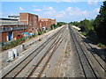
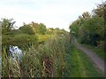
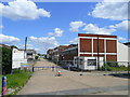
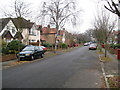
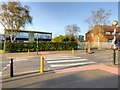
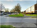
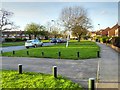
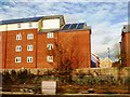
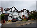
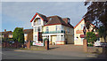
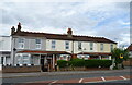
37 photos from this area
Area Information
Key information about the SL3 7FG including its size, population, and administrative classification.
- Area Type
- Postcode
- Area Size
- 1.4 hectares
- Population
- 2097
- Population Density
- 5257 people/km²
House Prices in SL3 7FG
30
Properties
£319,246
Average Sold Price
£154,995
Lowest Price
£800,000
Highest Price
Showing 30 properties
| Address | Type | Beds | Baths | Last Sale Price | Last Sale Date | |
|---|---|---|---|---|---|---|
| 127 Hurworth Avenue, Slough, SL3 7FG | Flat | 2 | 2 | £281,000 | Mar 2025 | |
| 117 Hurworth Avenue, Slough, SL3 7FG | Terraced | 5 | 3 | £530,000 | Jun 2023 | |
| 115 Hurworth Avenue, Slough, SL3 7FG | Terraced | 4 | 3 | £540,000 | Mar 2023 | |
| 113 Hurworth Avenue, Slough, SL3 7FG | Detached | 4 | - | £800,000 | Oct 2021 | |
| 141 Hurworth Avenue, Slough, SL3 7FG | Flat | 2 | 2 | £285,000 | May 2021 | |
| 119 Hurworth Avenue, Slough, SL3 7FG | house | 3 | - | £475,000 | May 2021 | |
| 107 Hurworth Avenue, Slough, SL3 7FG | Detached | 4 | - | £655,000 | Mar 2016 | |
| 121 Hurworth Avenue, Slough, SL3 7FG | Flat | - | - | £215,000 | May 2014 | |
| 129 Hurworth Avenue, Slough, SL3 7FG | Flat | 2 | 2 | £213,500 | Dec 2013 | |
| 95 Hurworth Avenue, Slough, SL3 7FG | Detached | 4 | - | £440,000 | Aug 2013 |
Page 1 of 3
Energy Efficiency in SL3 7FG
Amenities
Schools
| Rank | School | Type | Entry gender | Ages |
|---|
Explore more schools in this area
Go to Schools tabDemographics
Household Size
Family (3-5 people)
most common
Accommodation Type
Houses
most common
Tenure
74
majority
Ethnic Group
asian_total
most common
Religion
N/A
most common
Household Composition
N/A
most common
Age
47
median
Adults (30-64 years)
most common
Household Deprivation
N/A
with no deprivation
NS-SEC
39
in Lower managerial occupations
Explore more demographic insights in this area
Go to Demographics tabPlanning
Planning Constraints
- Flood RiskPremium
- Ramsar Wetland SitesPremium
- Area of Outstanding Natural BeautyPremium
- Protected Nature ReservePremium
- Protected WoodlandPremium