Area Overview for SL2 3UF
Photos of SL2 3UF
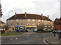
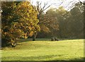
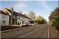
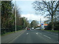
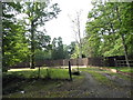
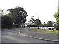
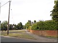
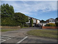
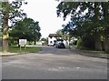
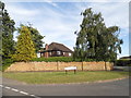
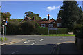
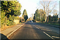
27 photos from this area
Area Information
Key information about the SL2 3UF including its size, population, and administrative classification.
- Area Type
- Postcode
- Area Size
- 2.6 hectares
- Population
- 1922
- Population Density
- 1388 people/km²
House Prices in SL2 3UF
15
Properties
£953,266
Average Sold Price
£670,928
Lowest Price
£1,290,000
Highest Price
Showing 15 properties
| Address | Type | Beds | Baths | Last Sale Price | Last Sale Date | |
|---|---|---|---|---|---|---|
| 8 Ashenden Walk, Farnham Common, SL2 3UF | house | - | - | £1,025,000 | Dec 2024 | |
| 14 Ashenden Walk, Farnham Common, SL2 3UF | Detached | 5 | 4 | £1,250,000 | Sep 2024 | |
| 1 Ashenden Walk, Farnham Common, SL2 3UF | Detached | 3 | 1 | £895,000 | Apr 2024 | |
| 2 Ashenden Walk, Farnham Common, SL2 3UF | Detached | 4 | 2 | £1,050,000 | Dec 2019 | |
| 5 Ashenden Walk, Farnham Common, SL2 3UF | house | - | - | £1,290,000 | Jul 2018 | |
| 11 Ashenden Walk, Farnham Common, SL2 3UF | Detached | 4 | 2 | £1,100,000 | Dec 2017 | |
| 10 Ashenden Walk, Farnham Common, SL2 3UF | Detached | 3 | 1 | £860,000 | May 2017 | |
| 12 Ashenden Walk, Farnham Common, SL2 3UF | house | - | - | £800,000 | Mar 2016 | |
| 16 Ashenden Walk, Farnham Common, SL2 3UF | house | 5 | 2 | £785,000 | Sep 2012 | |
| 7 Ashenden Walk, Farnham Common, SL2 3UF | Detached | 3 | 1 | £670,928 | Jun 2012 |
Page 1 of 2
Energy Efficiency in SL2 3UF
Amenities
Schools
| Rank | School | Type | Entry gender | Ages |
|---|
Explore more schools in this area
Go to Schools tabDemographics
Household Size
Family (3-5 people)
most common
Accommodation Type
Houses
most common
Tenure
85
majority
Ethnic Group
White
most common
Religion
N/A
most common
Household Composition
N/A
most common
Age
47
median
Adults (30-64 years)
most common
Household Deprivation
N/A
with no deprivation
NS-SEC
53
in Lower managerial occupations
Explore more demographic insights in this area
Go to Demographics tabPlanning
Planning Constraints
- Flood RiskPremium
- Ramsar Wetland SitesPremium
- Area of Outstanding Natural BeautyPremium
- Protected Nature ReservePremium
- Protected WoodlandPremium