Area Overview for SL2 2NU
Photos of SL2 2NU
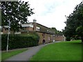
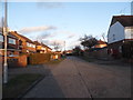
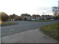
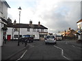
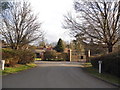
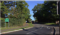
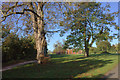
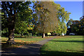
57 photos from this area
Area Information
Key information about the SL2 2NU including its size, population, and administrative classification.
- Area Type
- Postcode
- Area Size
- 1.2 hectares
- Population
- 1711
- Population Density
- 4344 people/km²
House Prices in SL2 2NU
43
Properties
£235,939
Average Sold Price
£71,000
Lowest Price
£380,000
Highest Price
Showing 43 properties
| Address | Type | Beds | Baths | Last Sale Price | Last Sale Date | |
|---|---|---|---|---|---|---|
| 73 Wordsworth Road, Slough, SL2 2NU | house | 2 | - | £295,000 | Feb 2025 | |
| 89 Wordsworth Road, Slough, SL2 2NU | Terraced | 3 | 1 | £360,000 | Oct 2024 | |
| 75 Wordsworth Road, Slough, SL2 2NU | Terraced | 3 | 1 | £380,000 | Feb 2024 | |
| 43 Wordsworth Road, Slough, SL2 2NU | Flat | - | - | £207,500 | Dec 2020 | |
| 67 Wordsworth Road, Slough, SL2 2NU | Terraced | 2 | - | £300,000 | May 2017 | |
| 57 Wordsworth Road, Slough, SL2 2NU | Terraced | 2 | 1 | £315,000 | Feb 2017 | |
| 103 Wordsworth Road, Slough, SL2 2NU | house | - | - | £370,000 | Jul 2015 | |
| 71 Wordsworth Road, Slough, SL2 2NU | Terraced | 3 | 1 | £300,000 | May 2015 | |
| 97 Wordsworth Road, Slough, SL2 2NU | house | - | - | £240,000 | Feb 2015 | |
| 99 Wordsworth Road, Slough, SL2 2NU | Terraced | 3 | - | £71,000 | Apr 2014 |
Page 1 of 5
Energy Efficiency in SL2 2NU
Amenities
Schools
| Rank | School | Type | Entry gender | Ages |
|---|
Explore more schools in this area
Go to Schools tabDemographics
Household Size
Family (3-5 people)
most common
Accommodation Type
Houses
most common
Tenure
59
majority
Ethnic Group
White
most common
Religion
N/A
most common
Household Composition
N/A
most common
Age
47
median
Adults (30-64 years)
most common
Household Deprivation
N/A
with no deprivation
NS-SEC
28
in Lower managerial occupations
Explore more demographic insights in this area
Go to Demographics tabPlanning
Planning Constraints
- Flood RiskPremium
- Ramsar Wetland SitesPremium
- Area of Outstanding Natural BeautyPremium
- Protected Nature ReservePremium
- Protected WoodlandPremium