Area Overview for SL2 2LN
Photos of SL2 2LN
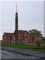
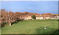
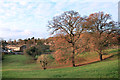
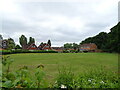
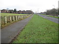
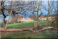
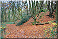
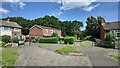
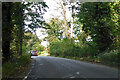
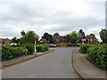
20 photos from this area
Area Information
Key information about the SL2 2LN including its size, population, and administrative classification.
- Area Type
- Postcode
- Area Size
- 3.0 hectares
- Population
- 1660
- Population Density
- 7757 people/km²
House Prices in SL2 2LN
71
Properties
£204,726
Average Sold Price
£44,286
Lowest Price
£400,000
Highest Price
Showing 71 properties
| Address | Type | Beds | Baths | Last Sale Price | Last Sale Date | |
|---|---|---|---|---|---|---|
| 31 Marescroft Road, Slough, SL2 2LN | Terraced | 3 | 1 | £390,000 | Jul 2025 | |
| 101 Marescroft Road, Slough, SL2 2LN | Terraced | 2 | 1 | £340,500 | Mar 2024 | |
| 13 Marescroft Road, Slough, SL2 2LN | Terraced | 2 | - | £328,000 | Oct 2021 | |
| 19 Marescroft Road, Slough, SL2 2LN | house | - | - | £380,000 | Mar 2021 | |
| 97 Marescroft Road, Slough, SL2 2LN | house | - | - | £400,000 | Jan 2021 | |
| 105 Marescroft Road, Slough, SL2 2LN | house | - | - | £325,000 | Nov 2020 | |
| 83 Marescroft Road, Slough, SL2 2LN | Terraced | 3 | 1 | £322,500 | Mar 2018 | |
| 71 Marescroft Road, Slough, SL2 2LN | house | - | - | £375,000 | Aug 2017 | |
| 17 Marescroft Road, Slough, SL2 2LN | house | - | - | £330,000 | Jan 2017 | |
| 15 Marescroft Road, Slough, SL2 2LN | Terraced | 3 | - | £270,000 | Jul 2015 |
Page 1 of 8
Energy Efficiency in SL2 2LN
Amenities
Schools
| Rank | School | Type | Entry gender | Ages |
|---|
Explore more schools in this area
Go to Schools tabDemographics
Household Size
Family (3-5 people)
most common
Accommodation Type
Houses
most common
Tenure
51
majority
Ethnic Group
White
most common
Religion
N/A
most common
Household Composition
N/A
most common
Age
47
median
Adults (30-64 years)
most common
Household Deprivation
N/A
with no deprivation
NS-SEC
28
in Lower managerial occupations
Explore more demographic insights in this area
Go to Demographics tabPlanning
Planning Constraints
- Flood RiskPremium
- Ramsar Wetland SitesPremium
- Area of Outstanding Natural BeautyPremium
- Protected Nature ReservePremium
- Protected WoodlandPremium