Area Overview for SL2 1TT
Photos of SL2 1TT
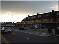
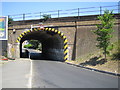
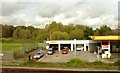
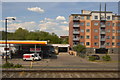
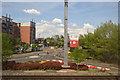
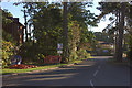
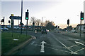
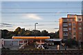
38 photos from this area
Area Information
Key information about the SL2 1TT including its size, population, and administrative classification.
- Area Type
- Postcode
- Area Size
- 8060 m²
- Population
- 1660
- Population Density
- 7757 people/km²
House Prices in SL2 1TT
39
Properties
£148,056
Average Sold Price
£45,000
Lowest Price
£317,000
Highest Price
Showing 39 properties
| Address | Type | Beds | Baths | Last Sale Price | Last Sale Date | |
|---|---|---|---|---|---|---|
| 26 Greystoke Road, Slough, SL2 1TT | Flat | 2 | 1 | £195,000 | Oct 2025 | |
| 76 Greystoke Road, Slough, SL2 1TT | Flat | - | - | £187,000 | Jun 2024 | |
| 70 Greystoke Road, Slough, SL2 1TT | Flat | - | - | £200,000 | Dec 2016 | |
| 28 Greystoke Road, Slough, SL2 1TT | Flat | 1 | - | £145,000 | Nov 2015 | |
| 66 Greystoke Road, Slough, SL2 1TT | Terraced | 3 | - | £317,000 | Nov 2015 | |
| 68 Greystoke Road, Slough, SL2 1TT | Flat | - | - | £130,000 | May 2015 | |
| 58 Greystoke Road, Slough, SL2 1TT | house | - | - | £203,000 | Jul 2013 | |
| 18 Greystoke Road, Slough, SL2 1TT | Terraced | - | - | £185,000 | Feb 2007 | |
| 42 Greystoke Road, Slough, SL2 1TT | Flat | - | - | £112,950 | Nov 2006 | |
| 56 Greystoke Road, Slough, SL2 1TT | Detached | - | - | £207,000 | Jan 2006 |
Page 1 of 4
Energy Efficiency in SL2 1TT
Amenities
Schools
| Rank | School | Type | Entry gender | Ages |
|---|
Explore more schools in this area
Go to Schools tabDemographics
Household Size
Family (3-5 people)
most common
Accommodation Type
Houses
most common
Tenure
51
majority
Ethnic Group
White
most common
Religion
N/A
most common
Household Composition
N/A
most common
Age
47
median
Adults (30-64 years)
most common
Household Deprivation
N/A
with no deprivation
NS-SEC
28
in Lower managerial occupations
Explore more demographic insights in this area
Go to Demographics tabPlanning
Planning Constraints
- Flood RiskPremium
- Ramsar Wetland SitesPremium
- Area of Outstanding Natural BeautyPremium
- Protected Nature ReservePremium
- Protected WoodlandPremium