Area Overview for SL2 2AS
Photos of SL2 2AS
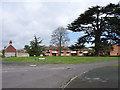
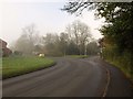
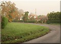
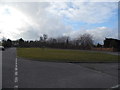
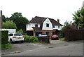
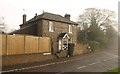
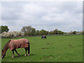
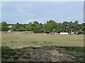
22 photos from this area
Area Information
Key information about the SL2 2AS including its size, population, and administrative classification.
- Area Type
- Postcode
- Area Size
- 1.5 hectares
- Population
- 1658
- Population Density
- 6173 people/km²
House Prices in SL2 2AS
11
Properties
£498,667
Average Sold Price
£328,000
Lowest Price
£675,000
Highest Price
Showing 11 properties
| Address | Type | Beds | Baths | Last Sale Price | Last Sale Date | |
|---|---|---|---|---|---|---|
| 143 Farnham Lane, Slough, SL2 2AS | house | 4 | 3 | £675,000 | Sep 2024 | |
| 141 Farnham Lane, Slough, SL2 2AS | house | - | - | £595,000 | Sep 2021 | |
| 137 Farnham Lane, Slough, SL2 2AS | Bungalow | - | - | £615,000 | Jun 2021 | |
| 145 Farnham Lane, Slough, SL2 2AS | house | - | - | £550,000 | Apr 2018 | |
| 127 Farnham Lane, Slough, SL2 2AS | Bungalow | - | - | £555,000 | Nov 2017 | |
| 135 Farnham Lane, Slough, SL2 2AS | Detached | 4 | 2 | £470,000 | Nov 2015 | |
| 139 Farnham Lane, Slough, SL2 2AS | Detached | - | - | £340,000 | Mar 2006 | |
| 147 Farnham Lane, Slough, SL2 2AS | Detached | 5 | 2 | £360,000 | Oct 2003 | |
| 131 Farnham Lane, Slough, SL2 2AS | Detached | - | - | £328,000 | Aug 2003 | |
| 133 Farnham Lane, Slough, SL2 2AS | Detached | 4 | - | - | - |
Page 1 of 2
Energy Efficiency in SL2 2AS
Amenities
Schools
| Rank | School | Type | Entry gender | Ages |
|---|
Explore more schools in this area
Go to Schools tabDemographics
Household Size
Family (3-5 people)
most common
Accommodation Type
Houses
most common
Tenure
53
majority
Ethnic Group
White
most common
Religion
N/A
most common
Household Composition
N/A
most common
Age
47
median
Adults (30-64 years)
most common
Household Deprivation
N/A
with no deprivation
NS-SEC
26
in Lower managerial occupations
Explore more demographic insights in this area
Go to Demographics tabPlanning
Planning Constraints
- Flood RiskPremium
- Ramsar Wetland SitesPremium
- Area of Outstanding Natural BeautyPremium
- Protected Nature ReservePremium
- Protected WoodlandPremium