Area Overview for SL2 2AR
Photos of SL2 2AR
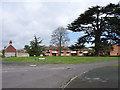
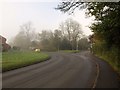
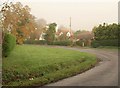
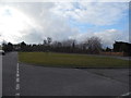
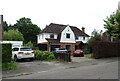
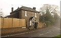
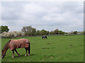
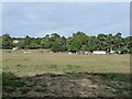
22 photos from this area
Area Information
Key information about the SL2 2AR including its size, population, and administrative classification.
- Area Type
- Postcode
- Area Size
- 8278 m²
- Population
- 1658
- Population Density
- 6173 people/km²
House Prices in SL2 2AR
12
Properties
£485,325
Average Sold Price
£159,950
Lowest Price
£780,000
Highest Price
Showing 12 properties
| Address | Type | Beds | Baths | Last Sale Price | Last Sale Date | |
|---|---|---|---|---|---|---|
| 176 Wentworth Avenue, Slough, SL2 2AR | Terraced | 3 | 2 | £506,000 | Mar 2025 | |
| 182 Wentworth Avenue, Slough, SL2 2AR | Detached | 4 | 2 | £780,000 | Aug 2022 | |
| 180 Wentworth Avenue, Slough, SL2 2AR | Bungalow | 4 | 2 | £680,000 | Jul 2022 | |
| 170 Wentworth Avenue, Slough, SL2 2AR | house | - | - | £336,000 | Jul 2021 | |
| 178 Wentworth Avenue, Slough, SL2 2AR | Detached | 4 | - | £450,000 | Jul 2015 | |
| 166 Wentworth Avenue, Slough, SL2 2AR | Semi-detached | - | - | £159,950 | Jan 2004 | |
| 162 Wentworth Avenue, Slough, SL2 2AR | Semi-detached | 3 | 1 | - | - | |
| 160 Wentworth Avenue, Slough, SL2 2AR | Bungalow | 4 | 2 | - | - | |
| 164 Wentworth Avenue, Slough, SL2 2AR | house | - | - | - | - | |
| 172 Wentworth Avenue, Slough, SL2 2AR | house | - | - | - | - |
Page 1 of 2
Energy Efficiency in SL2 2AR
Amenities
Schools
| Rank | School | Type | Entry gender | Ages |
|---|
Explore more schools in this area
Go to Schools tabDemographics
Household Size
Family (3-5 people)
most common
Accommodation Type
Houses
most common
Tenure
53
majority
Ethnic Group
White
most common
Religion
N/A
most common
Household Composition
N/A
most common
Age
47
median
Adults (30-64 years)
most common
Household Deprivation
N/A
with no deprivation
NS-SEC
26
in Lower managerial occupations
Explore more demographic insights in this area
Go to Demographics tabPlanning
Planning Constraints
- Flood RiskPremium
- Ramsar Wetland SitesPremium
- Area of Outstanding Natural BeautyPremium
- Protected Nature ReservePremium
- Protected WoodlandPremium