Area Overview for SL2 1TW
Photos of SL2 1TW
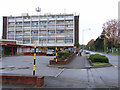
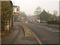
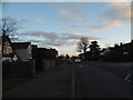
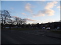
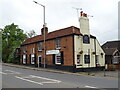
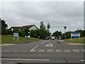
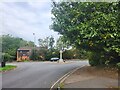
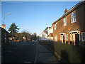
18 photos from this area
Area Information
Key information about the SL2 1TW including its size, population, and administrative classification.
- Area Type
- Postcode
- Area Size
- 1.3 hectares
- Population
- 1618
- Population Density
- 4757 people/km²
House Prices in SL2 1TW
20
Properties
£208,667
Average Sold Price
£97,000
Lowest Price
£368,000
Highest Price
Showing 20 properties
| Address | Type | Beds | Baths | Last Sale Price | Last Sale Date | |
|---|---|---|---|---|---|---|
| 126 Pentland Road, Slough, SL2 1TW | Semi-detached | 3 | 2 | £345,000 | Aug 2025 | |
| 120 Pentland Road, Slough, SL2 1TW | Terraced | 3 | 1 | £368,000 | Apr 2023 | |
| 98 Pentland Road, Slough, SL2 1TW | house | - | - | £270,000 | Jun 2017 | |
| 124 Pentland Road, Slough, SL2 1TW | Terraced | 3 | - | £270,000 | Dec 2015 | |
| 104 Pentland Road, Slough, SL2 1TW | Flat | - | - | £125,000 | Jun 2012 | |
| 92 Pentland Road, Slough, SL2 1TW | Terraced | - | - | £160,000 | Apr 2006 | |
| 102 Pentland Road, Slough, SL2 1TW | Flat | - | - | £120,000 | Sep 2004 | |
| 116 Pentland Road, Slough, SL2 1TW | Terraced | - | - | £97,000 | Mar 2004 | |
| 122 Pentland Road, Slough, SL2 1TW | Terraced | - | - | £123,000 | Oct 2002 | |
| 108 Pentland Road, Slough, SL2 1TW | Flat | - | - | - | - |
Page 1 of 2
Energy Efficiency in SL2 1TW
Amenities
Schools
| Rank | School | Type | Entry gender | Ages |
|---|
Explore more schools in this area
Go to Schools tabDemographics
Household Size
Family (3-5 people)
most common
Accommodation Type
Houses
most common
Tenure
37
majority
Ethnic Group
White
most common
Religion
N/A
most common
Household Composition
N/A
most common
Age
47
median
Adults (30-64 years)
most common
Household Deprivation
N/A
with no deprivation
NS-SEC
23
in Lower managerial occupations
Explore more demographic insights in this area
Go to Demographics tabPlanning
Planning Constraints
- Flood RiskPremium
- Ramsar Wetland SitesPremium
- Area of Outstanding Natural BeautyPremium
- Protected Nature ReservePremium
- Protected WoodlandPremium