Area Overview for SL2 1TA
Photos of SL2 1TA
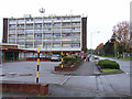
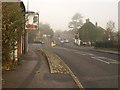
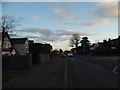
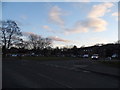
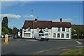
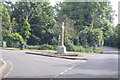
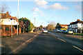
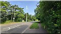
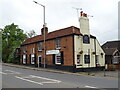
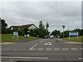
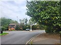
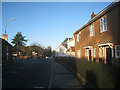
18 photos from this area
Area Information
Key information about the SL2 1TA including its size, population, and administrative classification.
- Area Type
- Postcode
- Area Size
- 2.8 hectares
- Population
- 1618
- Population Density
- 4757 people/km²
House Prices in SL2 1TA
38
Properties
£259,188
Average Sold Price
£96,000
Lowest Price
£376,000
Highest Price
Showing 38 properties
| Address | Type | Beds | Baths | Last Sale Price | Last Sale Date | |
|---|---|---|---|---|---|---|
| 202 Northborough Road, Slough, SL2 1TA | Semi-detached | 3 | 1 | £376,000 | Oct 2022 | |
| 130 Northborough Road, Slough, SL2 1TA | house | - | - | £370,000 | Jan 2022 | |
| 198 Northborough Road, Slough, SL2 1TA | Semi-detached | 3 | 2 | £340,000 | Jun 2021 | |
| 140 Northborough Road, Slough, SL2 1TA | Terraced | 3 | - | £350,000 | Jul 2017 | |
| 156 Northborough Road, Slough, SL2 1TA | Maisonette | 3 | - | £259,000 | Jul 2016 | |
| 162 Northborough Road, Slough, SL2 1TA | Terraced | 3 | 1 | £310,000 | Aug 2015 | |
| 186 Northborough Road, Slough, SL2 1TA | Terraced | 3 | 1 | £249,950 | Mar 2015 | |
| 134 Northborough Road, Slough, SL2 1TA | house | - | - | £250,000 | Oct 2014 | |
| 168 Northborough Road, Slough, SL2 1TA | Terraced | 3 | 1 | £233,500 | Oct 2014 | |
| 166 Northborough Road, Slough, SL2 1TA | house | - | - | £171,000 | Oct 2012 |
Page 1 of 4
Energy Efficiency in SL2 1TA
Amenities
Schools
| Rank | School | Type | Entry gender | Ages |
|---|
Explore more schools in this area
Go to Schools tabDemographics
Household Size
Family (3-5 people)
most common
Accommodation Type
Houses
most common
Tenure
37
majority
Ethnic Group
White
most common
Religion
N/A
most common
Household Composition
N/A
most common
Age
47
median
Adults (30-64 years)
most common
Household Deprivation
N/A
with no deprivation
NS-SEC
23
in Lower managerial occupations
Explore more demographic insights in this area
Go to Demographics tabPlanning
Planning Constraints
- Flood RiskPremium
- Ramsar Wetland SitesPremium
- Area of Outstanding Natural BeautyPremium
- Protected Nature ReservePremium
- Protected WoodlandPremium