Area Overview for RH8 0ND
Photos of RH8 0ND
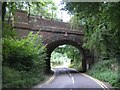
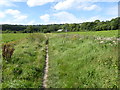
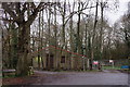
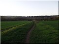
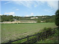
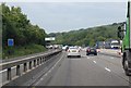

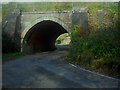
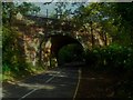
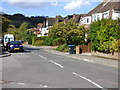
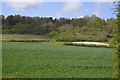
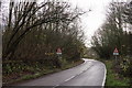
19 photos from this area
Area Information
Key information about the RH8 0ND including its size, population, and administrative classification.
- Area Type
- Postcode
- Area Size
- 1.6 hectares
- Population
- 1498
- Population Density
- 347 people/km²
House Prices in RH8 0ND
31
Properties
£485,442
Average Sold Price
£60,000
Lowest Price
£875,000
Highest Price
Showing 31 properties
| Address | Type | Beds | Baths | Last Sale Price | Last Sale Date | |
|---|---|---|---|---|---|---|
| 28 Westlands Way, Oxted, RH8 0ND | Semi-detached | 6 | 3 | £875,000 | Feb 2025 | |
| 32 Westlands Way, Oxted, RH8 0ND | Semi-detached | 4 | 2 | £743,000 | Sep 2023 | |
| 42 Westlands Way, Oxted, RH8 0ND | Semi-detached | 3 | 1 | £805,000 | Oct 2022 | |
| 36 Westlands Way, Oxted, RH8 0ND | Retail | 4 | 2 | £780,000 | Jul 2022 | |
| 12 Westlands Way, Oxted, RH8 0ND | Semi-detached | 5 | 3 | £645,000 | Jan 2021 | |
| 34 Westlands Way, Oxted, RH8 0ND | Detached | 4 | 2 | £585,000 | Nov 2020 | |
| 30 Westlands Way, Oxted, RH8 0ND | Semi-detached | 3 | 2 | £635,000 | Aug 2019 | |
| 16 Westlands Way, Oxted, RH8 0ND | Semi-detached | 3 | 1 | £527,000 | May 2019 | |
| 22 Westlands Way, Oxted, RH8 0ND | house | 3 | - | £550,000 | Mar 2016 | |
| 50 Westlands Way, Oxted, RH8 0ND | Semi-detached | 3 | 1 | £570,000 | Apr 2015 |
Page 1 of 4
Energy Efficiency in RH8 0ND
Amenities
Schools
| Rank | School | Type | Entry gender | Ages |
|---|
Explore more schools in this area
Go to Schools tabDemographics
Household Size
Family (3-5 people)
most common
Accommodation Type
Houses
most common
Tenure
79
majority
Ethnic Group
White
most common
Religion
N/A
most common
Household Composition
N/A
most common
Age
47
median
Adults (30-64 years)
most common
Household Deprivation
N/A
with no deprivation
NS-SEC
46
in Lower managerial occupations
Explore more demographic insights in this area
Go to Demographics tabPlanning
Planning Constraints
- Flood RiskPremium
- Ramsar Wetland SitesPremium
- Area of Outstanding Natural BeautyPremium
- Protected Nature ReservePremium
- Protected WoodlandPremium