Area Overview for RH8 0BP
Photos of RH8 0BP
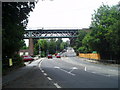
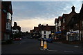
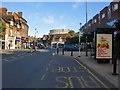
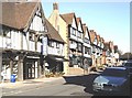
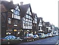
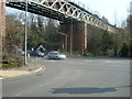
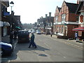
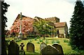
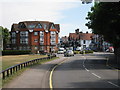
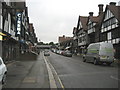
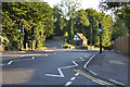
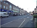
100 photos from this area
Area Information
Key information about the RH8 0BP including its size, population, and administrative classification.
- Area Type
- Postcode
- Area Size
- 2.0 hectares
- Population
- 1607
- Population Density
- 3032 people/km²
House Prices in RH8 0BP
32
Properties
£344,410
Average Sold Price
£59,500
Lowest Price
£567,000
Highest Price
Showing 32 properties
| Address | Type | Beds | Baths | Last Sale Price | Last Sale Date | |
|---|---|---|---|---|---|---|
| 34 Johnsdale, Oxted, RH8 0BP | Semi-detached | 2 | 1 | £440,000 | Jun 2025 | |
| 28 Johnsdale, Oxted, RH8 0BP | Semi-detached | 3 | 1 | £500,000 | Sep 2023 | |
| 29 Johnsdale, Oxted, RH8 0BP | Semi-detached | 3 | 1 | £567,000 | Aug 2022 | |
| 22 Johnsdale, Oxted, RH8 0BP | Semi-detached | 3 | 1 | £510,000 | Jan 2021 | |
| 19 Johnsdale, Oxted, RH8 0BP | Semi-detached | 3 | 2 | £505,000 | Dec 2020 | |
| 24 Johnsdale, Oxted, RH8 0BP | Semi-detached | 4 | 2 | £536,500 | Dec 2019 | |
| 25 Johnsdale, Oxted, RH8 0BP | Semi-detached | 3 | 2 | £565,000 | Jun 2019 | |
| 40 Johnsdale, Oxted, RH8 0BP | Semi-detached | 3 | 1 | £433,000 | Apr 2019 | |
| 18 Johnsdale, Oxted, RH8 0BP | Semi-detached | 3 | 2 | £500,000 | Mar 2018 | |
| 27 Johnsdale, Oxted, RH8 0BP | Semi-detached | 3 | - | £540,000 | Sep 2017 |
Page 1 of 4
Energy Efficiency in RH8 0BP
Amenities
Schools
| Rank | School | Type | Entry gender | Ages |
|---|
Explore more schools in this area
Go to Schools tabDemographics
Household Size
One person
most common
Accommodation Type
Houses
most common
Tenure
61
majority
Ethnic Group
White
most common
Religion
N/A
most common
Household Composition
N/A
most common
Age
47
median
Adults (30-64 years)
most common
Household Deprivation
N/A
with no deprivation
NS-SEC
45
in Lower managerial occupations
Explore more demographic insights in this area
Go to Demographics tabPlanning
Planning Constraints
- Flood RiskPremium
- Ramsar Wetland SitesPremium
- Area of Outstanding Natural BeautyPremium
- Protected Nature ReservePremium
- Protected WoodlandPremium