Area Overview for RH8 0AX
Photos of RH8 0AX
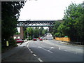
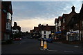
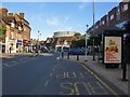
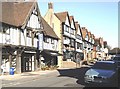
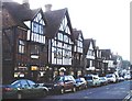
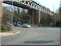
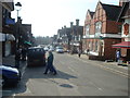
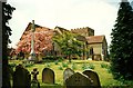
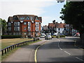
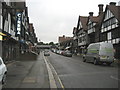
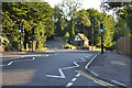
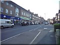
100 photos from this area
Area Information
Key information about the RH8 0AX including its size, population, and administrative classification.
- Area Type
- Postcode
- Area Size
- 1.2 hectares
- Population
- 1607
- Population Density
- 3032 people/km²
House Prices in RH8 0AX
26
Properties
£276,778
Average Sold Price
£162,110
Lowest Price
£475,000
Highest Price
Showing 26 properties
| Address | Type | Beds | Baths | Last Sale Price | Last Sale Date | |
|---|---|---|---|---|---|---|
| 117A Station Road East, Oxted, RH8 0AX | Flat | - | - | £475,000 | Oct 2023 | |
| 61B Station Road East, Oxted, RH8 0AX | Flat | - | - | £240,000 | Oct 2023 | |
| 61A Station Road East, Oxted, RH8 0AX | Flat | - | - | £162,110 | Mar 2016 | |
| 85A Station Road East, Oxted, RH8 0AX | Flat | - | - | £230,000 | May 2008 | |
| 43H Station Road East, Oxted, RH8 0AX | Maisonette | 2 | 1 | - | - | |
| First Floor, 107 Station Road East, Oxted, RH8 0AX | Office | - | - | - | - | |
| Douglas Graham Developments Ltd, First Floor, 95-99 Station Road East, Oxted, RH8 0AX | Office | - | - | - | - | |
| First Floor Flat, 117 Station Road East, Oxted, RH8 0AX | Flat | - | - | - | - | |
| Flat, 111-113 Station Road East, Oxted, RH8 0AX | Maisonette | - | - | - | - | |
| 71A Station Road East, Oxted, RH8 0AX | retail_financial | - | - | - | - |
Page 1 of 3
Energy Efficiency in RH8 0AX
Amenities
Schools
| Rank | School | Type | Entry gender | Ages |
|---|
Explore more schools in this area
Go to Schools tabDemographics
Household Size
One person
most common
Accommodation Type
Houses
most common
Tenure
61
majority
Ethnic Group
White
most common
Religion
N/A
most common
Household Composition
N/A
most common
Age
47
median
Adults (30-64 years)
most common
Household Deprivation
N/A
with no deprivation
NS-SEC
45
in Lower managerial occupations
Explore more demographic insights in this area
Go to Demographics tabPlanning
Planning Constraints
- Flood RiskPremium
- Ramsar Wetland SitesPremium
- Area of Outstanding Natural BeautyPremium
- Protected Nature ReservePremium
- Protected WoodlandPremium