Area Overview for RH7 6BF
Photos of RH7 6BF
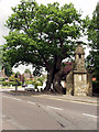
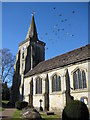
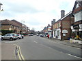
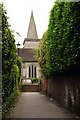
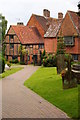
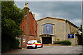
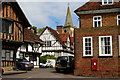
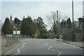
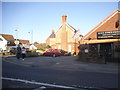
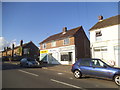
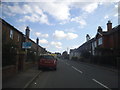
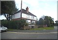
70 photos from this area
Area Information
Key information about the RH7 6BF including its size, population, and administrative classification.
- Area Type
- Postcode
- Area Size
- 3165 m²
- Population
- 1437
- Population Density
- 596 people/km²
House Prices in RH7 6BF
15
Properties
£271,972
Average Sold Price
£85,000
Lowest Price
£400,000
Highest Price
Showing 15 properties
| Address | Type | Beds | Baths | Last Sale Price | Last Sale Date | |
|---|---|---|---|---|---|---|
| 10 Jenny Lane, Lingfield, RH7 6BF | Terraced | 2 | 1 | £340,000 | May 2025 | |
| 8 Jenny Lane, Lingfield, RH7 6BF | Terraced | 2 | 1 | £400,000 | May 2024 | |
| 11 Jenny Lane, Lingfield, RH7 6BF | Terraced | 2 | 1 | £360,000 | Nov 2022 | |
| 3 Jenny Lane, Lingfield, RH7 6BF | Terraced | 2 | 1 | £315,000 | Sep 2017 | |
| 13 Jenny Lane, Lingfield, RH7 6BF | Terraced | 2 | 1 | £298,000 | Sep 2017 | |
| 9 Jenny Lane, Lingfield, RH7 6BF | Terraced | 2 | 1 | £221,000 | Aug 2013 | |
| 4 Jenny Lane, Lingfield, RH7 6BF | Terraced | 2 | 1 | £208,750 | Sep 2011 | |
| 6 Jenny Lane, Lingfield, RH7 6BF | house | 2 | - | £220,000 | Dec 2010 | |
| 12 Jenny Lane, Lingfield, RH7 6BF | Terraced | - | - | £85,000 | Jun 1998 | |
| 2 Jenny Lane, Lingfield, RH7 6BF | Terraced | - | - | - | - |
Page 1 of 2
Energy Efficiency in RH7 6BF
Amenities
Schools
| Rank | School | Type | Entry gender | Ages |
|---|
Explore more schools in this area
Go to Schools tabDemographics
Household Size
One person
most common
Accommodation Type
Houses
most common
Tenure
63
majority
Ethnic Group
White
most common
Religion
N/A
most common
Household Composition
N/A
most common
Age
47
median
Adults (30-64 years)
most common
Household Deprivation
N/A
with no deprivation
NS-SEC
41
in Lower managerial occupations
Explore more demographic insights in this area
Go to Demographics tabPlanning
Planning Constraints
- Flood RiskPremium
- Ramsar Wetland SitesPremium
- Area of Outstanding Natural BeautyPremium
- Protected Nature ReservePremium
- Protected WoodlandPremium