Area Overview for RH6 9NX
Photos of RH6 9NX
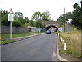
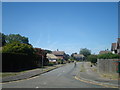
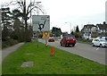
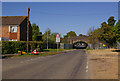
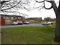
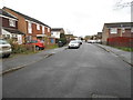
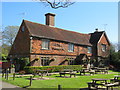
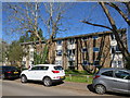
40 photos from this area
Area Information
Key information about the RH6 9NX including its size, population, and administrative classification.
- Area Type
- Postcode
- Area Size
- 1.8 hectares
- Population
- 2237
- Population Density
- 2331 people/km²
House Prices in RH6 9NX
53
Properties
£407,390
Average Sold Price
£249,995
Lowest Price
£640,000
Highest Price
Showing 53 properties
| Address | Type | Beds | Baths | Last Sale Price | Last Sale Date | |
|---|---|---|---|---|---|---|
| 36 Brookfield Drive, Horley, RH6 9NX | Terraced | 4 | 2 | £530,000 | Aug 2022 | |
| 32 Brookfield Drive, Horley, RH6 9NX | Terraced | 3 | 2 | £377,500 | Nov 2021 | |
| 28 Brookfield Drive, Horley, RH6 9NX | house | - | - | £465,000 | Oct 2021 | |
| 84 Brookfield Drive, Horley, RH6 9NX | house | 4 | 2 | £477,500 | Aug 2021 | |
| 70 Brookfield Drive, Horley, RH6 9NX | house | 5 | - | £437,000 | Jun 2021 | |
| 38 Brookfield Drive, Horley, RH6 9NX | house | - | - | £460,000 | Mar 2021 | |
| 24 Brookfield Drive, Horley, RH6 9NX | Terraced | 3 | 2 | £345,000 | Aug 2019 | |
| 6 Brookfield Drive, Horley, RH6 9NX | Detached | 5 | 4 | £640,000 | Jul 2018 | |
| 78 Brookfield Drive, Horley, RH6 9NX | Terraced | 5 | 3 | £470,000 | Apr 2018 | |
| 64 Brookfield Drive, Horley, RH6 9NX | Detached | 5 | 4 | £615,000 | Nov 2016 |
Page 1 of 6
Energy Efficiency in RH6 9NX
Amenities
Schools
| Rank | School | Type | Entry gender | Ages |
|---|
Explore more schools in this area
Go to Schools tabDemographics
Household Size
Family (3-5 people)
most common
Accommodation Type
Houses
most common
Tenure
73
majority
Ethnic Group
White
most common
Religion
N/A
most common
Household Composition
N/A
most common
Age
47
median
Adults (30-64 years)
most common
Household Deprivation
N/A
with no deprivation
NS-SEC
42
in Lower managerial occupations
Explore more demographic insights in this area
Go to Demographics tabPlanning
Planning Constraints
- Flood RiskPremium
- Ramsar Wetland SitesPremium
- Area of Outstanding Natural BeautyPremium
- Protected Nature ReservePremium
- Protected WoodlandPremium