Area Overview for RH6 7NB
Photos of RH6 7NB
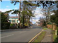
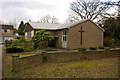
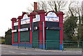
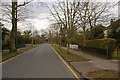
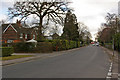
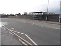
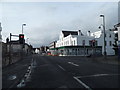
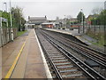
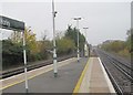
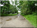
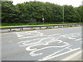
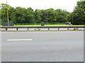
86 photos from this area
Area Information
Key information about the RH6 7NB including its size, population, and administrative classification.
- Area Type
- Postcode
- Area Size
- 2.9 hectares
- Population
- 1617
- Population Density
- 3517 people/km²
House Prices in RH6 7NB
44
Properties
£292,356
Average Sold Price
£59,999
Lowest Price
£500,000
Highest Price
Showing 44 properties
| Address | Type | Beds | Baths | Last Sale Price | Last Sale Date | |
|---|---|---|---|---|---|---|
| 25 Lechford Road, Horley, RH6 7NB | Semi-detached | 3 | 2 | £500,000 | Jan 2025 | |
| 15 Lechford Road, Horley, RH6 7NB | Bungalow | 2 | 1 | £442,500 | Jan 2025 | |
| 38 Lechford Road, Horley, RH6 7NB | Semi-detached | 3 | 2 | £475,000 | May 2024 | |
| Oak House, 3A Lechford Road, Horley, RH6 7NB | Detached | 3 | 1 | £440,000 | May 2023 | |
| 14 Lechford Road, Horley, RH6 7NB | house | - | - | £400,000 | May 2021 | |
| 12 Lechford Road, Horley, RH6 7NB | Detached | 4 | 1 | £462,000 | Sep 2020 | |
| 30 Lechford Road, Horley, RH6 7NB | house | 3 | 1 | £190,000 | Jun 2020 | |
| 27 Lechford Road, Horley, RH6 7NB | Semi-detached | 3 | 1 | £412,000 | Jun 2019 | |
| 17 Lechford Road, Horley, RH6 7NB | Semi-detached | 4 | - | £450,000 | Apr 2018 | |
| 33 Lechford Road, Horley, RH6 7NB | Semi-detached | 3 | - | £417,000 | Dec 2017 |
Page 1 of 5
Energy Efficiency in RH6 7NB
Amenities
Schools
| Rank | School | Type | Entry gender | Ages |
|---|
Explore more schools in this area
Go to Schools tabDemographics
Household Size
One person
most common
Accommodation Type
Houses
most common
Tenure
69
majority
Ethnic Group
White
most common
Religion
N/A
most common
Household Composition
N/A
most common
Age
47
median
Adults (30-64 years)
most common
Household Deprivation
N/A
with no deprivation
NS-SEC
36
in Lower managerial occupations
Explore more demographic insights in this area
Go to Demographics tabPlanning
Planning Constraints
- Flood RiskPremium
- Ramsar Wetland SitesPremium
- Area of Outstanding Natural BeautyPremium
- Protected Nature ReservePremium
- Protected WoodlandPremium