Area Overview for RH6 7NA
Photos of RH6 7NA
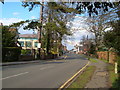
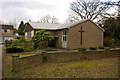
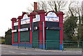
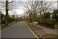
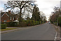
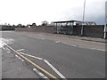
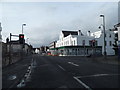
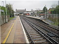
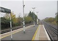
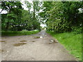
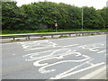
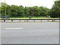
86 photos from this area
Area Information
Key information about the RH6 7NA including its size, population, and administrative classification.
- Area Type
- Postcode
- Area Size
- 1.4 hectares
- Population
- 1617
- Population Density
- 3517 people/km²
House Prices in RH6 7NA
17
Properties
£383,981
Average Sold Price
£185,000
Lowest Price
£600,000
Highest Price
Showing 17 properties
| Address | Type | Beds | Baths | Last Sale Price | Last Sale Date | |
|---|---|---|---|---|---|---|
| 56 Cheyne Walk, Horley, RH6 7NA | Retail | 2 | 1 | £435,000 | Aug 2022 | |
| 44 Cheyne Walk, Horley, RH6 7NA | Bungalow | 3 | - | £550,000 | Dec 2020 | |
| 50 Cheyne Walk, Horley, RH6 7NA | Bungalow | 4 | 2 | £600,000 | Sep 2019 | |
| 52 Cheyne Walk, Horley, RH6 7NA | Detached | 4 | 1 | £465,000 | Nov 2018 | |
| 46 Cheyne Walk, Horley, RH6 7NA | Bungalow | 4 | 2 | £538,750 | Jun 2018 | |
| 60 Cheyne Walk, Horley, RH6 7NA | Semi-detached | 2 | - | £385,000 | Apr 2017 | |
| 42 Cheyne Walk, Horley, RH6 7NA | Detached | 3 | 2 | £438,000 | Jan 2015 | |
| 70 Cheyne Walk, Horley, RH6 7NA | Bungalow | 2 | - | £280,000 | Jun 2012 | |
| 54 Cheyne Walk, Horley, RH6 7NA | Bungalow | 3 | - | £280,000 | Oct 2011 | |
| 72 Cheyne Walk, Horley, RH6 7NA | Bungalow | - | - | £185,000 | Sep 2009 |
Page 1 of 2
Energy Efficiency in RH6 7NA
Amenities
Schools
| Rank | School | Type | Entry gender | Ages |
|---|
Explore more schools in this area
Go to Schools tabDemographics
Household Size
One person
most common
Accommodation Type
Houses
most common
Tenure
69
majority
Ethnic Group
White
most common
Religion
N/A
most common
Household Composition
N/A
most common
Age
47
median
Adults (30-64 years)
most common
Household Deprivation
N/A
with no deprivation
NS-SEC
36
in Lower managerial occupations
Explore more demographic insights in this area
Go to Demographics tabPlanning
Planning Constraints
- Flood RiskPremium
- Ramsar Wetland SitesPremium
- Area of Outstanding Natural BeautyPremium
- Protected Nature ReservePremium
- Protected WoodlandPremium