Area Overview for RH6 7JG
Photos of RH6 7JG
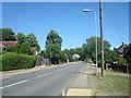
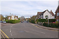
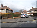
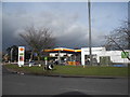
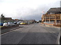
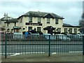
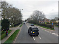
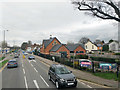
89 photos from this area
Area Information
Key information about the RH6 7JG including its size, population, and administrative classification.
- Area Type
- Postcode
- Area Size
- 1.1 hectares
- Population
- 1422
- Population Density
- 6031 people/km²
House Prices in RH6 7JG
29
Properties
£294,927
Average Sold Price
£79,000
Lowest Price
£485,000
Highest Price
Showing 29 properties
| Address | Type | Beds | Baths | Last Sale Price | Last Sale Date | |
|---|---|---|---|---|---|---|
| 103 Lumley Road, Horley, RH6 7JG | Semi-detached | 3 | 1 | £420,000 | Jun 2024 | |
| 127 Lumley Road, Horley, RH6 7JG | Semi-detached | 3 | 1 | £485,000 | Dec 2022 | |
| 115 Lumley Road, Horley, RH6 7JG | Semi-detached | 3 | 1 | £430,000 | Sep 2021 | |
| 119 Lumley Road, Horley, RH6 7JG | house | - | - | £375,000 | Feb 2021 | |
| 109 Lumley Road, Horley, RH6 7JG | Semi-detached | 3 | 1 | £385,000 | Jun 2019 | |
| 133 Lumley Road, Horley, RH6 7JG | Semi-detached | 2 | 1 | £325,000 | Nov 2018 | |
| 123 Lumley Road, Horley, RH6 7JG | Detached | 3 | 1 | £400,000 | Jun 2016 | |
| 139 Lumley Road, Horley, RH6 7JG | Semi-detached | 2 | - | £309,950 | Nov 2015 | |
| 147 Lumley Road, Horley, RH6 7JG | Bungalow | 2 | - | £180,000 | Dec 2011 | |
| 113 Lumley Road, Horley, RH6 7JG | house | - | - | £234,950 | Mar 2011 |
Page 1 of 3
Energy Efficiency in RH6 7JG
Amenities
Schools
| Rank | School | Type | Entry gender | Ages |
|---|
Explore more schools in this area
Go to Schools tabDemographics
Household Size
Two person
most common
Accommodation Type
Houses
most common
Tenure
62
majority
Ethnic Group
White
most common
Religion
N/A
most common
Household Composition
N/A
most common
Age
47
median
Adults (30-64 years)
most common
Household Deprivation
N/A
with no deprivation
NS-SEC
36
in Lower managerial occupations
Explore more demographic insights in this area
Go to Demographics tabPlanning
Planning Constraints
- Flood RiskPremium
- Ramsar Wetland SitesPremium
- Area of Outstanding Natural BeautyPremium
- Protected Nature ReservePremium
- Protected WoodlandPremium