Area Overview for RH6 7JF
Photos of RH6 7JF
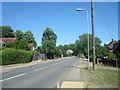
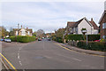
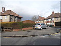
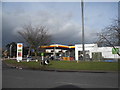
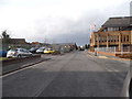
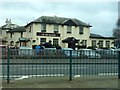
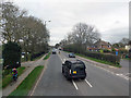
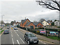
89 photos from this area
Area Information
Key information about the RH6 7JF including its size, population, and administrative classification.
- Area Type
- Postcode
- Area Size
- 1.6 hectares
- Population
- 1422
- Population Density
- 6031 people/km²
House Prices in RH6 7JF
58
Properties
£341,069
Average Sold Price
£110,000
Lowest Price
£610,000
Highest Price
Showing 58 properties
| Address | Type | Beds | Baths | Last Sale Price | Last Sale Date | |
|---|---|---|---|---|---|---|
| 49 Lumley Road, Horley, RH6 7JF | Semi-detached | 3 | 2 | £490,000 | Dec 2024 | |
| 63 Lumley Road, Horley, RH6 7JF | Semi-detached | 2 | 2 | £440,000 | Oct 2024 | |
| 61 Lumley Road, Horley, RH6 7JF | Semi-detached | 4 | 1 | £480,000 | Sep 2024 | |
| 75 Lumley Road, Horley, RH6 7JF | Semi-detached | 3 | 1 | £425,000 | Apr 2024 | |
| 43 Lumley Road, Horley, RH6 7JF | Semi-detached | 4 | 1 | £507,000 | Feb 2024 | |
| 37 Lumley Road, Horley, RH6 7JF | Semi-detached | 5 | 1 | £480,000 | Jan 2023 | |
| 77 Lumley Road, Horley, RH6 7JF | house | - | - | £475,000 | Jun 2022 | |
| The House, 47 Lumley Road, Horley, RH6 7JF | Detached | 4 | - | £610,000 | Oct 2021 | |
| 45 Lumley Road, Horley, RH6 7JF | Detached | 3 | 1 | £430,000 | Jun 2021 | |
| 89 Lumley Road, Horley, RH6 7JF | house | - | - | £317,000 | Aug 2020 |
Page 1 of 6
Energy Efficiency in RH6 7JF
Amenities
Schools
| Rank | School | Type | Entry gender | Ages |
|---|
Explore more schools in this area
Go to Schools tabDemographics
Household Size
Two person
most common
Accommodation Type
Houses
most common
Tenure
62
majority
Ethnic Group
White
most common
Religion
N/A
most common
Household Composition
N/A
most common
Age
47
median
Adults (30-64 years)
most common
Household Deprivation
N/A
with no deprivation
NS-SEC
36
in Lower managerial occupations
Explore more demographic insights in this area
Go to Demographics tabPlanning
Planning Constraints
- Flood RiskPremium
- Ramsar Wetland SitesPremium
- Area of Outstanding Natural BeautyPremium
- Protected Nature ReservePremium
- Protected WoodlandPremium