Area Overview for RH6 7BZ
Photos of RH6 7BZ
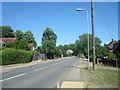
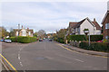
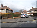
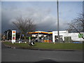
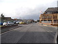
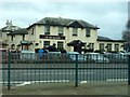
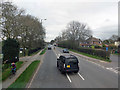
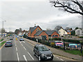
89 photos from this area
Area Information
Key information about the RH6 7BZ including its size, population, and administrative classification.
- Area Type
- Postcode
- Area Size
- 2.4 hectares
- Population
- 1723
- Population Density
- 4024 people/km²
House Prices in RH6 7BZ
19
Properties
£277,750
Average Sold Price
£45,000
Lowest Price
£665,000
Highest Price
Showing 19 properties
| Address | Type | Beds | Baths | Last Sale Price | Last Sale Date | |
|---|---|---|---|---|---|---|
| 21 Oakwood Road, Horley, RH6 7BZ | Maisonette | 2 | 1 | £300,000 | Mar 2025 | |
| 15 Oakwood Road, Horley, RH6 7BZ | Maisonette | - | - | £292,000 | May 2024 | |
| 19 Oakwood Road, Horley, RH6 7BZ | Maisonette | 2 | 1 | £295,000 | Apr 2022 | |
| 1A Oakwood Road, Horley, RH6 7BZ | Detached | 5 | - | £600,000 | Mar 2019 | |
| 17 Oakwood Road, Horley, RH6 7BZ | Maisonette | 2 | - | £260,000 | Oct 2017 | |
| 11 Oakwood Road, Horley, RH6 7BZ | Flat | - | - | £292,000 | Oct 2016 | |
| 25 Oakwood Road, Horley, RH6 7BZ | Flat | - | - | £164,500 | Sep 2012 | |
| 35 Oakwood Road, Horley, RH6 7BZ | Detached | 2 | 1 | £665,000 | Oct 2009 | |
| 23 Oakwood Road, Horley, RH6 7BZ | Flat | - | - | £105,500 | Dec 2000 | |
| Homesdale, 33 Oakwood Road, Horley, RH6 7BZ | Detached | - | - | £260,000 | Feb 1999 |
Page 1 of 2
Energy Efficiency in RH6 7BZ
Amenities
Schools
| Rank | School | Type | Entry gender | Ages |
|---|
Explore more schools in this area
Go to Schools tabDemographics
Household Size
Family (3-5 people)
most common
Accommodation Type
Houses
most common
Tenure
72
majority
Ethnic Group
White
most common
Religion
N/A
most common
Household Composition
N/A
most common
Age
47
median
Adults (30-64 years)
most common
Household Deprivation
N/A
with no deprivation
NS-SEC
38
in Lower managerial occupations
Explore more demographic insights in this area
Go to Demographics tabPlanning
Planning Constraints
- Flood RiskPremium
- Ramsar Wetland SitesPremium
- Area of Outstanding Natural BeautyPremium
- Protected Nature ReservePremium
- Protected WoodlandPremium