Area Overview for RH19 3LY
Photos of RH19 3LY

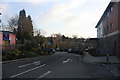
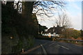
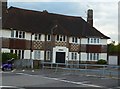

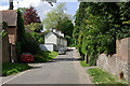
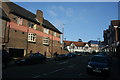
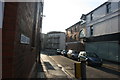
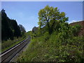

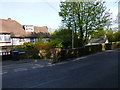
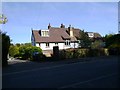
100 photos from this area
Area Information
Key information about the RH19 3LY including its size, population, and administrative classification.
- Area Type
- Postcode
- Area Size
- 1.2 hectares
- Population
- 1167
- Population Density
- 3724 people/km²
House Prices in RH19 3LY
20
Properties
£415,654
Average Sold Price
£143,000
Lowest Price
£848,000
Highest Price
Showing 20 properties
| Address | Type | Beds | Baths | Last Sale Price | Last Sale Date | |
|---|---|---|---|---|---|---|
| The Dene, College Lane, East Grinstead, RH19 3LY | Detached | 6 | 3 | £843,000 | Mar 2025 | |
| 21 College Lane, East Grinstead, RH19 3LY | Semi-detached | 3 | 2 | £370,000 | Nov 2022 | |
| Lynton, College Lane, East Grinstead, RH19 3LY | Semi-detached | 6 | 1 | £848,000 | Feb 2020 | |
| 4, Woodlands, College Lane, East Grinstead, RH19 3LY | Flat | 1 | 1 | £205,000 | Sep 2018 | |
| Ashdene, College Lane, East Grinstead, RH19 3LY | Semi-detached | 5 | - | £775,000 | Aug 2017 | |
| 19 College Lane, East Grinstead, RH19 3LY | Semi-detached | 3 | 2 | £270,000 | Jul 2015 | |
| Hill Cottage, 17 College Lane, East Grinstead, RH19 3LY | Detached | 3 | - | £360,000 | Aug 2014 | |
| Deneside, College Lane, East Grinstead, RH19 3LY | house | - | - | £460,000 | Nov 2012 | |
| 24 College Lane, East Grinstead, RH19 3LY | house | 3 | - | £245,000 | Sep 2011 | |
| 3, Woodlands, College Lane, East Grinstead, RH19 3LY | Flat | - | - | £143,000 | May 2011 |
Page 1 of 2
Energy Efficiency in RH19 3LY
Amenities
Schools
| Rank | School | Type | Entry gender | Ages |
|---|
Explore more schools in this area
Go to Schools tabDemographics
Household Size
One person
most common
Accommodation Type
Houses
most common
Tenure
78
majority
Ethnic Group
White
most common
Religion
N/A
most common
Household Composition
N/A
most common
Age
47
median
Adults (30-64 years)
most common
Household Deprivation
N/A
with no deprivation
NS-SEC
44
in Lower managerial occupations
Explore more demographic insights in this area
Go to Demographics tabPlanning
Planning Constraints
- Flood RiskPremium
- Ramsar Wetland SitesPremium
- Area of Outstanding Natural BeautyPremium
- Protected Nature ReservePremium
- Protected WoodlandPremium