Area Overview for RH19 3EY
Photos of RH19 3EY
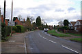
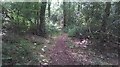
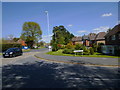
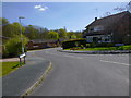

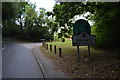
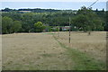
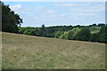
45 photos from this area
Area Information
Key information about the RH19 3EY including its size, population, and administrative classification.
- Area Type
- Postcode
- Area Size
- 5.5 hectares
- Population
- 2228
- Population Density
- 1006 people/km²
House Prices in RH19 3EY
28
Properties
£529,409
Average Sold Price
£198,000
Lowest Price
£1,195,000
Highest Price
Showing 28 properties
| Address | Type | Beds | Baths | Last Sale Price | Last Sale Date | |
|---|---|---|---|---|---|---|
| Holtye View, 252 Holtye Road, East Grinstead, RH19 3EY | house | - | - | £1,195,000 | Dec 2023 | |
| 248 Holtye Road, East Grinstead, RH19 3EY | Detached | 4 | 2 | £870,000 | Oct 2023 | |
| 230 Holtye Road, East Grinstead, RH19 3EY | Detached | 4 | 3 | £745,000 | Dec 2022 | |
| 208 Holtye Road, East Grinstead, RH19 3EY | Semi-detached | 3 | 1 | £418,000 | Oct 2020 | |
| 234 Holtye Road, East Grinstead, RH19 3EY | Detached | 5 | 2 | £650,000 | Aug 2020 | |
| 232 Holtye Road, East Grinstead, RH19 3EY | Semi-detached | 4 | - | £475,000 | Mar 2018 | |
| 224 Holtye Road, East Grinstead, RH19 3EY | Detached | 4 | 2 | £985,000 | Oct 2015 | |
| 212 Holtye Road, East Grinstead, RH19 3EY | Semi-detached | 3 | - | £292,500 | Mar 2015 | |
| 222 Holtye Road, East Grinstead, RH19 3EY | Detached | 5 | 3 | £675,000 | Nov 2011 | |
| 214 Holtye Road, East Grinstead, RH19 3EY | Detached | 3 | 1 | £285,000 | Oct 2010 |
Page 1 of 3
Energy Efficiency in RH19 3EY
Amenities
Schools
| Rank | School | Type | Entry gender | Ages |
|---|
Explore more schools in this area
Go to Schools tabDemographics
Household Size
Family (3-5 people)
most common
Accommodation Type
Houses
most common
Tenure
88
majority
Ethnic Group
White
most common
Religion
N/A
most common
Household Composition
N/A
most common
Age
47
median
Adults (30-64 years)
most common
Household Deprivation
N/A
with no deprivation
NS-SEC
46
in Lower managerial occupations
Explore more demographic insights in this area
Go to Demographics tabPlanning
Planning Constraints
- Flood RiskPremium
- Ramsar Wetland SitesPremium
- Area of Outstanding Natural BeautyPremium
- Protected Nature ReservePremium
- Protected WoodlandPremium