Area Overview for RH19 2EQ
Photos of RH19 2EQ


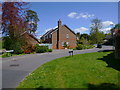
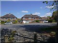
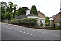
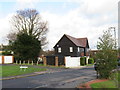
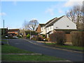
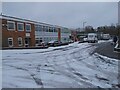
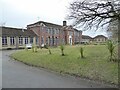
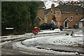
37 photos from this area
Area Information
Key information about the RH19 2EQ including its size, population, and administrative classification.
- Area Type
- Postcode
- Area Size
- 4958 m²
- Population
- 1556
- Population Density
- 4055 people/km²
House Prices in RH19 2EQ
27
Properties
£292,188
Average Sold Price
£179,950
Lowest Price
£570,000
Highest Price
Showing 27 properties
| Address | Type | Beds | Baths | Last Sale Price | Last Sale Date | |
|---|---|---|---|---|---|---|
| 2, Gassons Cottages, Lingfield Road, East Grinstead, RH19 2EQ | Terraced | 2 | 1 | £260,000 | Jul 2025 | |
| 4, Wells Cottages, Lingfield Road, East Grinstead, RH19 2EQ | Terraced | 2 | 1 | £320,000 | Dec 2024 | |
| 2, Simmons Flats, Lingfield Road, East Grinstead, RH19 2EQ | Flat | 2 | 1 | £245,000 | Jun 2024 | |
| Cherry Garth, Lingfield Road, East Grinstead, RH19 2EQ | Detached | 3 | 1 | £570,000 | May 2024 | |
| 3, Wells Cottages, Lingfield Road, East Grinstead, RH19 2EQ | Terraced | 3 | 1 | £329,000 | Nov 2021 | |
| 1, Wells Cottages, Lingfield Road, East Grinstead, RH19 2EQ | Terraced | 2 | - | £305,000 | Jun 2021 | |
| 1, Josephs Place, Lingfield Road, East Grinstead, RH19 2EQ | Terraced | 2 | - | £315,000 | Sep 2020 | |
| 3, Gassons Cottages, Lingfield Road, East Grinstead, RH19 2EQ | Terraced | 2 | 1 | £237,500 | Aug 2019 | |
| Highwold, Lingfield Road, East Grinstead, RH19 2EQ | house | - | - | £360,000 | Mar 2017 | |
| 2, Wells Cottages, Lingfield Road, East Grinstead, RH19 2EQ | house | - | - | £179,950 | Feb 2010 |
Page 1 of 3
Energy Efficiency in RH19 2EQ
Amenities
Schools
| Rank | School | Type | Entry gender | Ages |
|---|
Explore more schools in this area
Go to Schools tabDemographics
Household Size
Two person
most common
Accommodation Type
Houses
most common
Tenure
91
majority
Ethnic Group
White
most common
Religion
N/A
most common
Household Composition
N/A
most common
Age
47
median
Adults (30-64 years)
most common
Household Deprivation
N/A
with no deprivation
NS-SEC
46
in Lower managerial occupations
Explore more demographic insights in this area
Go to Demographics tabPlanning
Planning Constraints
- Flood RiskPremium
- Ramsar Wetland SitesPremium
- Area of Outstanding Natural BeautyPremium
- Protected Nature ReservePremium
- Protected WoodlandPremium