Area Overview for RH19 2AJ
Photos of RH19 2AJ


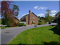
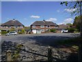
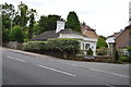
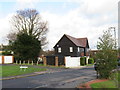
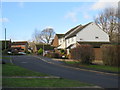


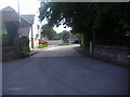
37 photos from this area
Area Information
Key information about the RH19 2AJ including its size, population, and administrative classification.
- Area Type
- Postcode
- Area Size
- 4574 m²
- Population
- 1809
- Population Density
- 4731 people/km²
House Prices in RH19 2AJ
16
Properties
£272,625
Average Sold Price
£141,500
Lowest Price
£495,000
Highest Price
Showing 16 properties
| Address | Type | Beds | Baths | Last Sale Price | Last Sale Date | |
|---|---|---|---|---|---|---|
| 44 Buckhurst Way, East Grinstead, RH19 2AJ | Semi-detached | 3 | 1 | £495,000 | Feb 2025 | |
| 56 Buckhurst Way, East Grinstead, RH19 2AJ | Semi-detached | 3 | - | £312,000 | Apr 2019 | |
| 46 Buckhurst Way, East Grinstead, RH19 2AJ | Semi-detached | 4 | - | £280,000 | Oct 2013 | |
| 50 Buckhurst Way, East Grinstead, RH19 2AJ | house | 3 | - | £237,500 | Mar 2013 | |
| 42 Buckhurst Way, East Grinstead, RH19 2AJ | Semi-detached | - | - | £270,000 | Jul 2012 | |
| Iona Cottage, 48 Buckhurst Way, East Grinstead, RH19 2AJ | house | - | - | £210,000 | Dec 2011 | |
| 32 Buckhurst Way, East Grinstead, RH19 2AJ | Semi-detached | - | - | £235,000 | Dec 2007 | |
| Hi Fields, 52 Buckhurst Way, East Grinstead, RH19 2AJ | Semi-detached | - | - | £141,500 | Nov 2001 | |
| 34A Buckhurst Way, East Grinstead, RH19 2AJ | Maisonette | 1 | 1 | - | - | |
| 34B Buckhurst Way, East Grinstead, RH19 2AJ | Maisonette | 2 | - | - | - |
Page 1 of 2
Energy Efficiency in RH19 2AJ
Amenities
Schools
| Rank | School | Type | Entry gender | Ages |
|---|
Explore more schools in this area
Go to Schools tabDemographics
Household Size
Family (3-5 people)
most common
Accommodation Type
Houses
most common
Tenure
61
majority
Ethnic Group
White
most common
Religion
N/A
most common
Household Composition
N/A
most common
Age
47
median
Adults (30-64 years)
most common
Household Deprivation
N/A
with no deprivation
NS-SEC
37
in Lower managerial occupations
Explore more demographic insights in this area
Go to Demographics tabPlanning
Planning Constraints
- Flood RiskPremium
- Ramsar Wetland SitesPremium
- Area of Outstanding Natural BeautyPremium
- Protected Nature ReservePremium
- Protected WoodlandPremium