Area Overview for RH18 5BW
Photos of RH18 5BW
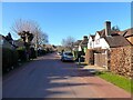
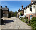
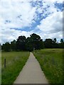
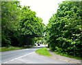
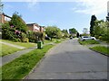
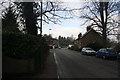
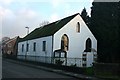
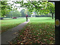
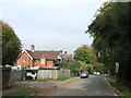
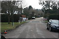
80 photos from this area
Area Information
Key information about the RH18 5BW including its size, population, and administrative classification.
- Area Type
- Postcode
- Area Size
- 1.8 hectares
- Population
- 1656
- Population Density
- 134 people/km²
House Prices in RH18 5BW
18
Properties
£529,364
Average Sold Price
£177,500
Lowest Price
£890,000
Highest Price
Showing 18 properties
| Address | Type | Beds | Baths | Last Sale Price | Last Sale Date | |
|---|---|---|---|---|---|---|
| Brackenside, Ashdown Road, Forest Row, RH18 5BW | Detached | 5 | 2 | £775,000 | Sep 2020 | |
| The Song House, Ashdown Road, Forest Row, RH18 5BW | house | 5 | - | £890,000 | Aug 2018 | |
| Farrandene, Ashdown Road, Forest Row, RH18 5BW | house | 4 | - | £650,000 | Sep 2013 | |
| Cramond, Ashdown Road, Forest Row, RH18 5BW | Detached | 4 | - | £575,000 | Oct 2012 | |
| Hawthorn Cottage, Ashdown Road, Forest Row, RH18 5BW | house | 7 | - | £730,000 | Jun 2012 | |
| Little Downwood, Ashdown Road, Forest Row, RH18 5BW | Detached | - | - | £400,000 | Apr 2007 | |
| Woodlands Cottage, Ashdown Road, Forest Row, RH18 5BW | Detached | - | - | £543,000 | Sep 2006 | |
| The Vicarage, Ashdown Road, Forest Row, RH18 5BW | house | - | - | £530,000 | Jan 2004 | |
| Firbank, Ashdown Road, Forest Row, RH18 5BW | Detached | - | - | £290,000 | Nov 1998 | |
| Mount Lodge, Ashdown Road, Forest Row, RH18 5BW | Detached | - | - | £262,500 | Jul 1998 |
Page 1 of 2
Energy Efficiency in RH18 5BW
Amenities
Schools
| Rank | School | Type | Entry gender | Ages |
|---|
Explore more schools in this area
Go to Schools tabDemographics
Household Size
Family (3-5 people)
most common
Accommodation Type
Houses
most common
Tenure
78
majority
Ethnic Group
White
most common
Religion
N/A
most common
Household Composition
N/A
most common
Age
47
median
Adults (30-64 years)
most common
Household Deprivation
N/A
with no deprivation
NS-SEC
48
in Lower managerial occupations
Explore more demographic insights in this area
Go to Demographics tabPlanning
Planning Constraints
- Flood RiskPremium
- Ramsar Wetland SitesPremium
- Area of Outstanding Natural BeautyPremium
- Protected Nature ReservePremium
- Protected WoodlandPremium