Area Overview for RH18 5AA
Photos of RH18 5AA
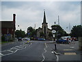
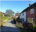
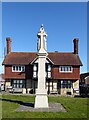
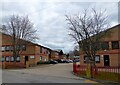
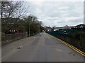
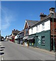
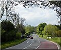
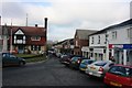
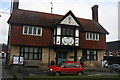
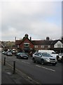
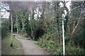
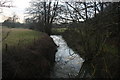
100 photos from this area
Area Information
Key information about the RH18 5AA including its size, population, and administrative classification.
- Area Type
- Postcode
- Area Size
- 9107 m²
- Population
- 2298
- Population Density
- 1217 people/km²
House Prices in RH18 5AA
22
Properties
£423,400
Average Sold Price
£250,000
Lowest Price
£740,000
Highest Price
Showing 22 properties
| Address | Type | Beds | Baths | Last Sale Price | Last Sale Date | |
|---|---|---|---|---|---|---|
| 1, Gilham View, Lewes Road, Forest Row, RH18 5AA | Terraced | 3 | 1 | £385,000 | Nov 2021 | |
| 2, The Elms, Lewes Road, Forest Row, RH18 5AA | Semi-detached | 5 | 3 | £740,000 | Oct 2015 | |
| 3, Gilham View, Lewes Road, Forest Row, RH18 5AA | house | 3 | 1 | £250,000 | Mar 2014 | |
| Flat, Elm Cottage, Lewes Road, Forest Row, RH18 5AA | Flat | - | - | £475,000 | May 2011 | |
| 3, The Elms, Lewes Road, Forest Row, RH18 5AA | Semi-detached | 5 | 2 | £267,000 | Jan 2010 | |
| Flat 1, Bank House, Lewes Road, Forest Row, RH18 5AA | Flat | 1 | 1 | - | - | |
| 1, The Elms, Lewes Road, Forest Row, RH18 5AA | Semi-detached | 5 | 3 | - | - | |
| Flat 2, First Call House, Lewes Road, Forest Row, RH18 5AA | Flat | 3 | 1 | - | - | |
| 1 Lewes Road, Forest Row, RH18 5AA | Detached | 4 | 3 | - | - | |
| Yew Tree Cottage, Lewes Road, Forest Row, RH18 5AA | Semi-detached | - | - | - | - |
Page 1 of 3
Energy Efficiency in RH18 5AA
Amenities
Schools
| Rank | School | Type | Entry gender | Ages |
|---|
Explore more schools in this area
Go to Schools tabDemographics
Household Size
Family (3-5 people)
most common
Accommodation Type
Houses
most common
Tenure
65
majority
Ethnic Group
White
most common
Religion
N/A
most common
Household Composition
N/A
most common
Age
47
median
Adults (30-64 years)
most common
Household Deprivation
N/A
with no deprivation
NS-SEC
40
in Lower managerial occupations
Explore more demographic insights in this area
Go to Demographics tabPlanning
Planning Constraints
- Flood RiskPremium
- Ramsar Wetland SitesPremium
- Area of Outstanding Natural BeautyPremium
- Protected Nature ReservePremium
- Protected WoodlandPremium