Area Overview for RH17 6RT
Photos of RH17 6RT
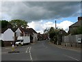
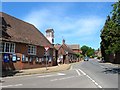
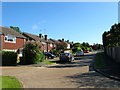
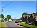
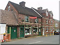
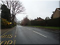
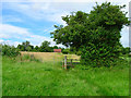
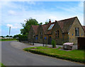
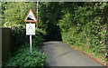
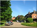
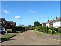
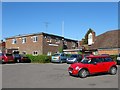
100 photos from this area
Area Information
Key information about the RH17 6RT including its size, population, and administrative classification.
- Area Type
- Postcode
- Area Size
- 8.5 hectares
- Population
- 1878
- Population Density
- 117 people/km²
House Prices in RH17 6RT
22
Properties
£453,824
Average Sold Price
£18,935
Lowest Price
£908,000
Highest Price
Showing 22 properties
| Address | Type | Beds | Baths | Last Sale Price | Last Sale Date | |
|---|---|---|---|---|---|---|
| 37 Munnion Road, Ardingly, RH17 6RT | Detached | 4 | 1 | £725,000 | Aug 2022 | |
| 59 Munnion Road, Ardingly, RH17 6RT | Detached | 4 | 1 | £465,000 | Jan 2022 | |
| 55 Munnion Road, Ardingly, RH17 6RT | house | - | - | £500,000 | Mar 2021 | |
| 25 Munnion Road, Ardingly, RH17 6RT | house | - | - | £500,000 | Jan 2021 | |
| 53 Munnion Road, Ardingly, RH17 6RT | Detached | 5 | 2 | £908,000 | Dec 2020 | |
| 61 Munnion Road, Ardingly, RH17 6RT | Detached | 4 | 2 | £425,000 | Nov 2020 | |
| 51 Munnion Road, Ardingly, RH17 6RT | house | - | - | £540,000 | Sep 2018 | |
| 49 Munnion Road, Ardingly, RH17 6RT | house | - | - | £500,000 | May 2017 | |
| 21 Munnion Road, Ardingly, RH17 6RT | house | - | - | £314,000 | Feb 2012 | |
| 31 Munnion Road, Ardingly, RH17 6RT | Detached | - | - | £300,000 | Mar 2003 |
Page 1 of 3
Energy Efficiency in RH17 6RT
Amenities
Schools
| Rank | School | Type | Entry gender | Ages |
|---|
Explore more schools in this area
Go to Schools tabDemographics
Household Size
Two person
most common
Accommodation Type
Houses
most common
Tenure
71
majority
Ethnic Group
White
most common
Religion
N/A
most common
Household Composition
N/A
most common
Age
47
median
Adults (30-64 years)
most common
Household Deprivation
N/A
with no deprivation
NS-SEC
42
in Lower managerial occupations
Explore more demographic insights in this area
Go to Demographics tabPlanning
Planning Constraints
- Flood RiskPremium
- Ramsar Wetland SitesPremium
- Area of Outstanding Natural BeautyPremium
- Protected Nature ReservePremium
- Protected WoodlandPremium