Area Overview for RH17 5AL
Photos of RH17 5AL
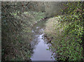
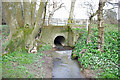
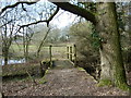
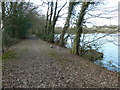
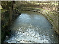
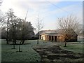
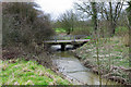

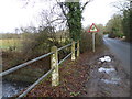
44 photos from this area
Area Information
Key information about the RH17 5AL including its size, population, and administrative classification.
- Area Type
- Postcode
- Area Size
- 1.2 km²
- Population
- 2278
- Population Density
- 296 people/km²
House Prices in RH17 5AL
20
Properties
£675,032
Average Sold Price
£295,000
Lowest Price
£927,227
Highest Price
Showing 20 properties
| Address | Type | Beds | Baths | Last Sale Price | Last Sale Date | |
|---|---|---|---|---|---|---|
| Pond Lye Barn, Cuckfield Road, Ansty, RH17 5AL | Semi-detached | 3 | 2 | £810,000 | Aug 2019 | |
| Litling Hof, Cuckfield Road, Ansty, RH17 5AL | Detached | 1 | 1 | £665,000 | Dec 2012 | |
| Leigh Watermill Farm, Cuckfield Road, Ansty, RH17 5AL | Land | 1 | 1 | £433,000 | Mar 2012 | |
| Leigh Cottage, Cuckfield Road, Ansty, RH17 5AL | house | 4 | - | £670,000 | Jan 2012 | |
| Upper Ease, Cuckfield Road, Ansty, RH17 5AL | Detached | - | - | £927,227 | Jul 2007 | |
| Brushwood Farm, Cuckfield Road, Ansty, RH17 5AL | house | - | - | £925,000 | Apr 2005 | |
| Adelaide Cottage, Cuckfield Road, Ansty, RH17 5AL | Bungalow | - | - | £295,000 | Sep 1997 | |
| Land At Grid Reference 529078 121294, Cuckfield Road, Ansty, RH17 5AL | Industrial | - | - | - | - | |
| Land At Grid Reference 528988 121105, Cuckfield Road, Ansty, RH17 5AL | Industrial | - | - | - | - | |
| Caravan At Flintstones, Cuckfield Road, Ansty, RH17 5AL | Mobile Home | - | - | - | - |
Page 1 of 2
Energy Efficiency in RH17 5AL
Amenities
Schools
| Rank | School | Type | Entry gender | Ages |
|---|
Explore more schools in this area
Go to Schools tabDemographics
Household Size
Family (3-5 people)
most common
Accommodation Type
Houses
most common
Tenure
82
majority
Ethnic Group
White
most common
Religion
N/A
most common
Household Composition
N/A
most common
Age
47
median
Adults (30-64 years)
most common
Household Deprivation
N/A
with no deprivation
NS-SEC
48
in Lower managerial occupations
Explore more demographic insights in this area
Go to Demographics tabPlanning
Planning Constraints
- Flood RiskPremium
- Ramsar Wetland SitesPremium
- Area of Outstanding Natural BeautyPremium
- Protected Nature ReservePremium
- Protected WoodlandPremium