Area Overview for RH15 9RG
Photos of RH15 9RG
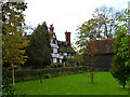
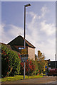
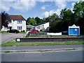
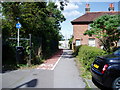
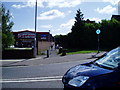
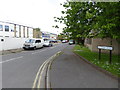
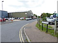
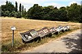
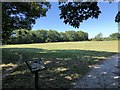
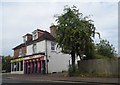
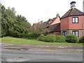
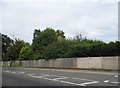
38 photos from this area
Area Information
Key information about the RH15 9RG including its size, population, and administrative classification.
- Area Type
- Postcode
- Area Size
- 1.1 hectares
- Population
- 1651
- Population Density
- 3007 people/km²
House Prices in RH15 9RG
20
Properties
£259,275
Average Sold Price
£91,995
Lowest Price
£562,500
Highest Price
Showing 20 properties
| Address | Type | Beds | Baths | Last Sale Price | Last Sale Date | |
|---|---|---|---|---|---|---|
| 5 Bulbeck Close, Burgess Hill, RH15 9RG | Retail | 3 | 2 | £440,000 | Sep 2022 | |
| 7 Bulbeck Close, Burgess Hill, RH15 9RG | house | - | - | £562,500 | Nov 2021 | |
| 6 Bulbeck Close, Burgess Hill, RH15 9RG | Semi-detached | 3 | 2 | £375,000 | Sep 2021 | |
| 1 Bulbeck Close, Burgess Hill, RH15 9RG | house | - | - | £430,000 | Feb 2021 | |
| 21 Bulbeck Close, Burgess Hill, RH15 9RG | Detached | 3 | 1 | £303,500 | Feb 2015 | |
| 9 Bulbeck Close, Burgess Hill, RH15 9RG | Detached | 3 | - | £265,000 | Jul 2013 | |
| 4 Bulbeck Close, Burgess Hill, RH15 9RG | Detached | 5 | 3 | £342,000 | Mar 2013 | |
| 11 Bulbeck Close, Burgess Hill, RH15 9RG | house | 4 | - | £350,000 | Aug 2012 | |
| 10 Bulbeck Close, Burgess Hill, RH15 9RG | house | 4 | - | £278,000 | Nov 2010 | |
| 17 Bulbeck Close, Burgess Hill, RH15 9RG | Detached | 3 | 2 | £270,000 | Dec 2009 |
Page 1 of 2
Energy Efficiency in RH15 9RG
Amenities
Schools
| Rank | School | Type | Entry gender | Ages |
|---|
Explore more schools in this area
Go to Schools tabDemographics
Household Size
Family (3-5 people)
most common
Accommodation Type
Houses
most common
Tenure
84
majority
Ethnic Group
White
most common
Religion
N/A
most common
Household Composition
N/A
most common
Age
47
median
Adults (30-64 years)
most common
Household Deprivation
N/A
with no deprivation
NS-SEC
47
in Lower managerial occupations
Explore more demographic insights in this area
Go to Demographics tabPlanning
Planning Constraints
- Flood RiskPremium
- Ramsar Wetland SitesPremium
- Area of Outstanding Natural BeautyPremium
- Protected Nature ReservePremium
- Protected WoodlandPremium