Area Overview for RH15 8EU
Photos of RH15 8EU
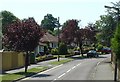
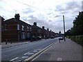
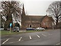
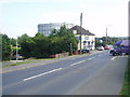
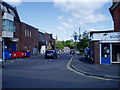
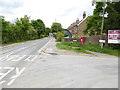
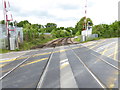
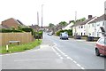
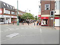

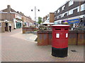
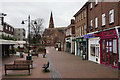
80 photos from this area
Area Information
Key information about the RH15 8EU including its size, population, and administrative classification.
- Area Type
- Postcode
- Area Size
- 2.4 hectares
- Population
- 1770
- Population Density
- 3349 people/km²
House Prices in RH15 8EU
31
Properties
£637,809
Average Sold Price
£150,000
Lowest Price
£1,700,000
Highest Price
Showing 31 properties
| Address | Type | Beds | Baths | Last Sale Price | Last Sale Date | |
|---|---|---|---|---|---|---|
| 27 Park Road, Burgess Hill, RH15 8EU | Detached | 5 | 4 | £1,700,000 | Jul 2024 | |
| 35 Park Road, Burgess Hill, RH15 8EU | house | - | - | £710,000 | Jan 2022 | |
| 33A Park Road, Burgess Hill, RH15 8EU | Detached | 4 | - | £570,000 | Oct 2020 | |
| 17 Park Road, Burgess Hill, RH15 8EU | house | - | - | £830,000 | Sep 2020 | |
| 7 Park Road, Burgess Hill, RH15 8EU | Semi-detached | 4 | 2 | £620,000 | May 2019 | |
| 41 Park Road, Burgess Hill, RH15 8EU | Semi-detached | 4 | 2 | £485,000 | Feb 2015 | |
| Roseleigh, 1A Park Road, Burgess Hill, RH15 8EU | Semi-detached | 5 | - | £750,000 | Jul 2014 | |
| 33 Park Road, Burgess Hill, RH15 8EU | house | 4 | - | £400,000 | Jan 2013 | |
| 31A Park Road, Burgess Hill, RH15 8EU | house | 4 | - | £570,000 | Feb 2008 | |
| Ashgarth, 1B Park Road, Burgess Hill, RH15 8EU | Semi-detached | - | - | £765,000 | Oct 2007 |
Page 1 of 4
Energy Efficiency in RH15 8EU
Amenities
Schools
| Rank | School | Type | Entry gender | Ages |
|---|
Explore more schools in this area
Go to Schools tabDemographics
Household Size
One person
most common
Accommodation Type
Houses
most common
Tenure
61
majority
Ethnic Group
White
most common
Religion
N/A
most common
Household Composition
N/A
most common
Age
47
median
Adults (30-64 years)
most common
Household Deprivation
N/A
with no deprivation
NS-SEC
38
in Lower managerial occupations
Explore more demographic insights in this area
Go to Demographics tabPlanning
Planning Constraints
- Flood RiskPremium
- Ramsar Wetland SitesPremium
- Area of Outstanding Natural BeautyPremium
- Protected Nature ReservePremium
- Protected WoodlandPremium