Area Overview for RH15 8AB
Photos of RH15 8AB
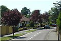
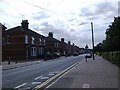
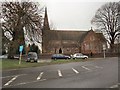
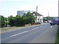
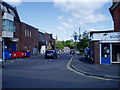
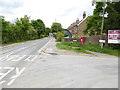
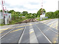
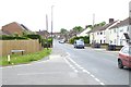
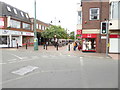

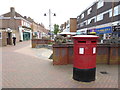
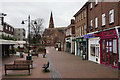
80 photos from this area
Area Information
Key information about the RH15 8AB including its size, population, and administrative classification.
- Area Type
- Postcode
- Area Size
- 1.2 hectares
- Population
- 1681
- Population Density
- 3286 people/km²
House Prices in RH15 8AB
18
Properties
£263,996
Average Sold Price
£41,500
Lowest Price
£515,000
Highest Price
Showing 18 properties
| Address | Type | Beds | Baths | Last Sale Price | Last Sale Date | |
|---|---|---|---|---|---|---|
| 114 Leylands Road, Burgess Hill, RH15 8AB | Semi-detached | 4 | 2 | £515,000 | May 2025 | |
| 116 Leylands Road, Burgess Hill, RH15 8AB | Semi-detached | 3 | 1 | £390,000 | Apr 2022 | |
| 108 Leylands Road, Burgess Hill, RH15 8AB | house | 3 | 1 | £350,000 | Jun 2021 | |
| 104 Leylands Road, Burgess Hill, RH15 8AB | Semi-detached | 3 | - | £320,000 | Nov 2019 | |
| 118 Leylands Road, Burgess Hill, RH15 8AB | house | 3 | 1 | £340,000 | Mar 2017 | |
| 106 Leylands Road, Burgess Hill, RH15 8AB | Detached | 4 | 2 | £440,000 | Nov 2016 | |
| 126 Leylands Road, Burgess Hill, RH15 8AB | house | - | - | £224,500 | Mar 2015 | |
| 128 Leylands Road, Burgess Hill, RH15 8AB | Semi-detached | 3 | 1 | £203,000 | May 2010 | |
| 112 Leylands Road, Burgess Hill, RH15 8AB | Semi-detached | 3 | 1 | £202,950 | Jun 2004 | |
| 110 Leylands Road, Burgess Hill, RH15 8AB | Semi-detached | - | - | £195,000 | Mar 2004 |
Page 1 of 2
Energy Efficiency in RH15 8AB
Amenities
Schools
| Rank | School | Type | Entry gender | Ages |
|---|
Explore more schools in this area
Go to Schools tabDemographics
Household Size
Two person
most common
Accommodation Type
Houses
most common
Tenure
86
majority
Ethnic Group
White
most common
Religion
N/A
most common
Household Composition
N/A
most common
Age
47
median
Adults (30-64 years)
most common
Household Deprivation
N/A
with no deprivation
NS-SEC
39
in Lower managerial occupations
Explore more demographic insights in this area
Go to Demographics tabPlanning
Planning Constraints
- Flood RiskPremium
- Ramsar Wetland SitesPremium
- Area of Outstanding Natural BeautyPremium
- Protected Nature ReservePremium
- Protected WoodlandPremium