Area Overview for RH15 8AA
Photos of RH15 8AA
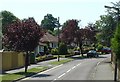
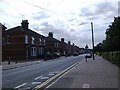
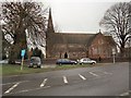
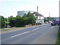
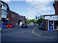
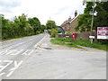
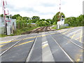
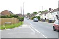
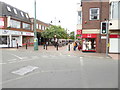

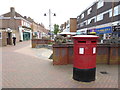
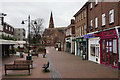
80 photos from this area
Area Information
Key information about the RH15 8AA including its size, population, and administrative classification.
- Area Type
- Postcode
- Area Size
- 7066 m²
- Population
- 1681
- Population Density
- 3286 people/km²
House Prices in RH15 8AA
15
Properties
£305,132
Average Sold Price
£105,000
Lowest Price
£715,000
Highest Price
Showing 15 properties
| Address | Type | Beds | Baths | Last Sale Price | Last Sale Date | |
|---|---|---|---|---|---|---|
| 89 Leylands Road, Burgess Hill, RH15 8AA | Detached | 5 | 2 | £715,000 | Feb 2024 | |
| 95 Leylands Road, Burgess Hill, RH15 8AA | Retail | 3 | 2 | £395,000 | Jun 2022 | |
| 91 Leylands Road, Burgess Hill, RH15 8AA | Bungalow | - | - | £550,000 | Dec 2020 | |
| 105 Leylands Road, Burgess Hill, RH15 8AA | Terraced | 3 | 1 | £341,000 | Aug 2020 | |
| 107 Leylands Road, Burgess Hill, RH15 8AA | house | 3 | - | £250,000 | Oct 2014 | |
| 99 Leylands Road, Burgess Hill, RH15 8AA | house | 4 | - | £320,000 | May 2010 | |
| 111 Leylands Road, Burgess Hill, RH15 8AA | Terraced | - | - | £180,500 | Dec 2006 | |
| 97 Leylands Road, Burgess Hill, RH15 8AA | Bungalow | 3 | 1 | £215,000 | Jan 2006 | |
| 87 Leylands Road, Burgess Hill, RH15 8AA | Detached | - | - | £159,950 | Dec 2000 | |
| 109 Leylands Road, Burgess Hill, RH15 8AA | Terraced | - | - | £105,000 | May 2000 |
Page 1 of 2
Energy Efficiency in RH15 8AA
Amenities
Schools
| Rank | School | Type | Entry gender | Ages |
|---|
Explore more schools in this area
Go to Schools tabDemographics
Household Size
Two person
most common
Accommodation Type
Houses
most common
Tenure
86
majority
Ethnic Group
White
most common
Religion
N/A
most common
Household Composition
N/A
most common
Age
47
median
Adults (30-64 years)
most common
Household Deprivation
N/A
with no deprivation
NS-SEC
39
in Lower managerial occupations
Explore more demographic insights in this area
Go to Demographics tabPlanning
Planning Constraints
- Flood RiskPremium
- Ramsar Wetland SitesPremium
- Area of Outstanding Natural BeautyPremium
- Protected Nature ReservePremium
- Protected WoodlandPremium