Area Overview for RH15 0RA
Photos of RH15 0RA
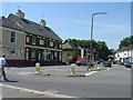
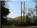
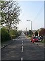
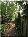
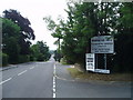
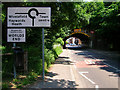
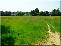
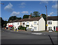
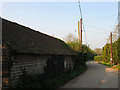
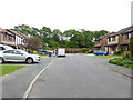
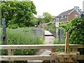
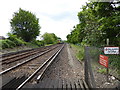
69 photos from this area
Area Information
Key information about the RH15 0RA including its size, population, and administrative classification.
- Area Type
- Postcode
- Area Size
- 2.4 hectares
- Population
- 1709
- Population Density
- 2863 people/km²
House Prices in RH15 0RA
37
Properties
£308,164
Average Sold Price
£141,000
Lowest Price
£440,000
Highest Price
Showing 37 properties
| Address | Type | Beds | Baths | Last Sale Price | Last Sale Date | |
|---|---|---|---|---|---|---|
| 41 Valebridge Road, Burgess Hill, RH15 0RA | house | - | - | £440,000 | Jan 2023 | |
| 31 Valebridge Road, Burgess Hill, RH15 0RA | Terraced | 3 | 2 | £390,000 | Nov 2021 | |
| 3 Valebridge Road, Burgess Hill, RH15 0RA | Semi-detached | 3 | 1 | £371,000 | Jun 2021 | |
| 37 Valebridge Road, Burgess Hill, RH15 0RA | house | - | - | £322,500 | Feb 2021 | |
| 23 Valebridge Road, Burgess Hill, RH15 0RA | Semi-detached | 3 | - | £354,000 | Oct 2020 | |
| 35 Valebridge Road, Burgess Hill, RH15 0RA | Terraced | 3 | 2 | £338,000 | Jan 2020 | |
| Little Grange, 27A Valebridge Road, Burgess Hill, RH15 0RA | Detached | 4 | - | £425,000 | Sep 2017 | |
| 29 Valebridge Road, Burgess Hill, RH15 0RA | house | - | - | £300,000 | Mar 2017 | |
| 17 Valebridge Road, Burgess Hill, RH15 0RA | Detached | 3 | 1 | £410,000 | Nov 2014 | |
| 51A Valebridge Road, Burgess Hill, RH15 0RA | Semi-detached | 3 | 1 | £230,000 | Nov 2013 |
Page 1 of 4
Energy Efficiency in RH15 0RA
Amenities
Schools
| Rank | School | Type | Entry gender | Ages |
|---|
Explore more schools in this area
Go to Schools tabDemographics
Household Size
Two person
most common
Accommodation Type
Houses
most common
Tenure
88
majority
Ethnic Group
White
most common
Religion
N/A
most common
Household Composition
N/A
most common
Age
47
median
Adults (30-64 years)
most common
Household Deprivation
N/A
with no deprivation
NS-SEC
45
in Lower managerial occupations
Explore more demographic insights in this area
Go to Demographics tabPlanning
Planning Constraints
- Flood RiskPremium
- Ramsar Wetland SitesPremium
- Area of Outstanding Natural BeautyPremium
- Protected Nature ReservePremium
- Protected WoodlandPremium