Area Overview for RH15 0QG
Photos of RH15 0QG
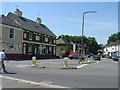
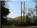
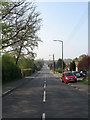
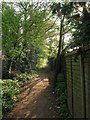
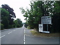
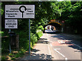
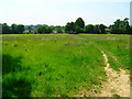
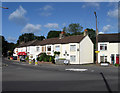
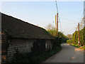
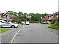
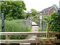
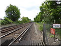
69 photos from this area
Area Information
Key information about the RH15 0QG including its size, population, and administrative classification.
- Area Type
- Postcode
- Area Size
- 8479 m²
- Population
- 1447
- Population Density
- 5534 people/km²
House Prices in RH15 0QG
20
Properties
£232,944
Average Sold Price
£68,000
Lowest Price
£335,000
Highest Price
Showing 20 properties
| Address | Type | Beds | Baths | Last Sale Price | Last Sale Date | |
|---|---|---|---|---|---|---|
| 6 Leylands Road, Burgess Hill, RH15 0QG | Terraced | 2 | 1 | £300,000 | Sep 2024 | |
| 26 Leylands Road, Burgess Hill, RH15 0QG | Terraced | 2 | 1 | £218,715 | Sep 2024 | |
| 40 Leylands Road, Burgess Hill, RH15 0QG | Terraced | 3 | 1 | £237,000 | Dec 2023 | |
| 10 Leylands Road, Burgess Hill, RH15 0QG | Terraced | 2 | 1 | £290,000 | Nov 2023 | |
| 32 Leylands Road, Burgess Hill, RH15 0QG | Terraced | 2 | 1 | £249,000 | Dec 2022 | |
| 18 Leylands Road, Burgess Hill, RH15 0QG | Semi-detached | 2 | 1 | £276,500 | Nov 2021 | |
| 28 Leylands Road, Burgess Hill, RH15 0QG | house | 2 | 1 | £250,000 | Nov 2020 | |
| 14 Leylands Road, Burgess Hill, RH15 0QG | Terraced | 2 | 1 | £224,000 | Jul 2019 | |
| 12 Leylands Road, Burgess Hill, RH15 0QG | house | - | - | £240,000 | Oct 2018 | |
| 42 Leylands Road, Burgess Hill, RH15 0QG | Semi-detached | 3 | 1 | £335,000 | Jul 2018 |
Page 1 of 2
Energy Efficiency in RH15 0QG
Amenities
Schools
| Rank | School | Type | Entry gender | Ages |
|---|
Explore more schools in this area
Go to Schools tabDemographics
Household Size
Two person
most common
Accommodation Type
Houses
most common
Tenure
67
majority
Ethnic Group
White
most common
Religion
N/A
most common
Household Composition
N/A
most common
Age
47
median
Adults (30-64 years)
most common
Household Deprivation
N/A
with no deprivation
NS-SEC
34
in Lower managerial occupations
Explore more demographic insights in this area
Go to Demographics tabPlanning
Planning Constraints
- Flood RiskPremium
- Ramsar Wetland SitesPremium
- Area of Outstanding Natural BeautyPremium
- Protected Nature ReservePremium
- Protected WoodlandPremium