Area Overview for RH15 0ND
Photos of RH15 0ND
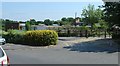
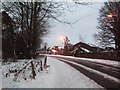
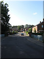
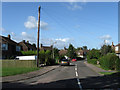
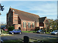
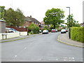
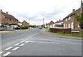
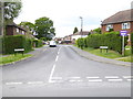
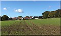
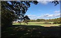
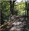
37 photos from this area
Area Information
Key information about the RH15 0ND including its size, population, and administrative classification.
- Area Type
- Postcode
- Area Size
- 8036 m²
- Population
- 1568
- Population Density
- 5598 people/km²
House Prices in RH15 0ND
22
Properties
£261,977
Average Sold Price
£56,000
Lowest Price
£510,000
Highest Price
Showing 22 properties
| Address | Type | Beds | Baths | Last Sale Price | Last Sale Date | |
|---|---|---|---|---|---|---|
| 1 The Vineries, Burgess Hill, RH15 0ND | Terraced | 4 | 1 | £510,000 | Sep 2022 | |
| 17 The Vineries, Burgess Hill, RH15 0ND | Semi-detached | 3 | 1 | £285,000 | Apr 2019 | |
| 19 The Vineries, Burgess Hill, RH15 0ND | Terraced | 4 | 2 | £302,000 | Jan 2018 | |
| 39 The Vineries, Burgess Hill, RH15 0ND | house | - | - | £287,500 | Jul 2015 | |
| 33 The Vineries, Burgess Hill, RH15 0ND | Semi-detached | 3 | 1 | £250,000 | Oct 2014 | |
| 7 The Vineries, Burgess Hill, RH15 0ND | Semi-detached | 5 | 3 | £310,750 | Feb 2014 | |
| 21 The Vineries, Burgess Hill, RH15 0ND | Terraced | 4 | 2 | £265,000 | Nov 2012 | |
| Evergreen, The Vineries, Burgess Hill, RH15 0ND | house | - | - | £205,000 | Jun 2005 | |
| Anjuna, The Vineries, Burgess Hill, RH15 0ND | Semi-detached | 3 | 1 | £218,000 | Aug 2004 | |
| 37 The Vineries, Burgess Hill, RH15 0ND | Terraced | 4 | 2 | £192,500 | Feb 2004 |
Page 1 of 3
Energy Efficiency in RH15 0ND
Amenities
Schools
| Rank | School | Type | Entry gender | Ages |
|---|
Explore more schools in this area
Go to Schools tabDemographics
Household Size
Two person
most common
Accommodation Type
Houses
most common
Tenure
79
majority
Ethnic Group
White
most common
Religion
N/A
most common
Household Composition
N/A
most common
Age
47
median
Adults (30-64 years)
most common
Household Deprivation
N/A
with no deprivation
NS-SEC
38
in Lower managerial occupations
Explore more demographic insights in this area
Go to Demographics tabPlanning
Planning Constraints
- Flood RiskPremium
- Ramsar Wetland SitesPremium
- Area of Outstanding Natural BeautyPremium
- Protected Nature ReservePremium
- Protected WoodlandPremium