Area Overview for RH14 9HF
Photos of RH14 9HF
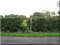
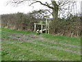
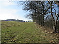
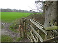
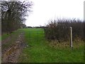
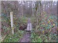

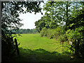
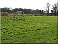
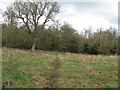
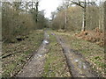
11 photos from this area
Area Information
Key information about the RH14 9HF including its size, population, and administrative classification.
- Area Type
- Postcode
- Area Size
- 39.0 hectares
- Population
- 2863
- Population Density
- 68 people/km²
House Prices in RH14 9HF
21
Properties
£1,024,688
Average Sold Price
£17,500
Lowest Price
£2,100,000
Highest Price
Showing 21 properties
| Address | Type | Beds | Baths | Last Sale Price | Last Sale Date | |
|---|---|---|---|---|---|---|
| Beke Hall, Marringdean Road, Billingshurst, RH14 9HF | Detached | 6 | 3 | £2,100,000 | Sep 2024 | |
| Marringdean Cottage, Marringdean Road, Billingshurst, RH14 9HF | Detached | 2 | 1 | £720,000 | Jun 2023 | |
| Marringdean Barn, Marringdean Road, Billingshurst, RH14 9HF | Semi-detached | 5 | 4 | £1,250,000 | Apr 2022 | |
| The Coach House, Marringdean Road, Billingshurst, RH14 9HF | Detached | - | - | £17,500 | Aug 2018 | |
| Sixpenny Buckle, Marringdean Road, Billingshurst, RH14 9HF | house | - | - | £1,850,000 | Mar 2017 | |
| Beke Rew, Marringdean Road, Billingshurst, RH14 9HF | Bungalow | 3 | - | £460,000 | Jun 2015 | |
| Marringdean Manor, Marringdean Road, Billingshurst, RH14 9HF | Detached | - | - | £1,300,000 | Jun 2006 | |
| Beke Glade, Marringdean Road, Billingshurst, RH14 9HF | Detached | - | - | £500,000 | Oct 2000 | |
| Tall Trees, Marringdean Road, Billingshurst, RH14 9HF | Detached | 5 | 2 | - | - | |
| Marringdean House, Marringdean Road, Billingshurst, RH14 9HF | Detached | 6 | 4 | - | - |
Page 1 of 3
Energy Efficiency in RH14 9HF
Amenities
Schools
| Rank | School | Type | Entry gender | Ages |
|---|
Explore more schools in this area
Go to Schools tabDemographics
Household Size
Two person
most common
Accommodation Type
Houses
most common
Tenure
72
majority
Ethnic Group
White
most common
Religion
N/A
most common
Household Composition
N/A
most common
Age
47
median
Adults (30-64 years)
most common
Household Deprivation
N/A
with no deprivation
NS-SEC
42
in Lower managerial occupations
Explore more demographic insights in this area
Go to Demographics tabPlanning
Planning Constraints
- Flood RiskPremium
- Ramsar Wetland SitesPremium
- Area of Outstanding Natural BeautyPremium
- Protected Nature ReservePremium
- Protected WoodlandPremium