Area Overview for RH14 9HD
Photos of RH14 9HD
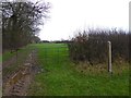
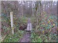
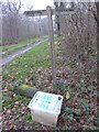
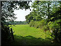
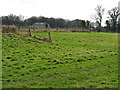
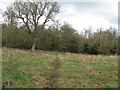
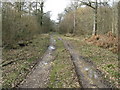
11 photos from this area
Area Information
Key information about the RH14 9HD including its size, population, and administrative classification.
- Area Type
- Postcode
- Area Size
- 55.9 hectares
- Population
- 1643
- Population Density
- 152 people/km²
House Prices in RH14 9HD
39
Properties
£512,421
Average Sold Price
£167,500
Lowest Price
£960,000
Highest Price
Showing 39 properties
| Address | Type | Beds | Baths | Last Sale Price | Last Sale Date | |
|---|---|---|---|---|---|---|
| Rosier Wood Cottage, Marringdean Road, Billingshurst, RH14 9HD | house | 4 | 2 | £495,000 | Feb 2025 | |
| Great Gillmans, Marringdean Road, Billingshurst, RH14 9HD | Detached | - | - | £960,000 | Jul 2020 | |
| Stoneycroft, Marringdean Road, Billingshurst, RH14 9HD | Detached | 4 | 3 | £830,000 | May 2020 | |
| Beedom, Marringdean Road, Billingshurst, RH14 9HD | house | 4 | 3 | £890,000 | Sep 2019 | |
| 5 Marringdean Road, Billingshurst, RH14 9HD | Semi-detached | 4 | 2 | £365,000 | May 2019 | |
| Kingsfold Cottage Farm, Marringdean Road, Billingshurst, RH14 9HD | house | - | - | £490,000 | May 2019 | |
| Nellin House, Marringdean Road, Billingshurst, RH14 9HD | Unknown | - | - | £250,000 | May 2019 | |
| Little Orchard, Marringdean Road, Billingshurst, RH14 9HD | house | - | - | £600,000 | Jul 2018 | |
| 3 Marringdean Road, Billingshurst, RH14 9HD | house | - | - | £435,000 | Jul 2018 | |
| Brook Cottage, Marringdean Road, Billingshurst, RH14 9HD | house | 3 | 2 | £625,000 | Dec 2017 |
Page 1 of 4
Energy Efficiency in RH14 9HD
Amenities
Schools
| Rank | School | Type | Entry gender | Ages |
|---|
Explore more schools in this area
Go to Schools tabDemographics
Household Size
Family (3-5 people)
most common
Accommodation Type
Houses
most common
Tenure
78
majority
Ethnic Group
White
most common
Religion
N/A
most common
Household Composition
N/A
most common
Age
47
median
Adults (30-64 years)
most common
Household Deprivation
N/A
with no deprivation
NS-SEC
47
in Lower managerial occupations
Explore more demographic insights in this area
Go to Demographics tabPlanning
Planning Constraints
- Flood RiskPremium
- Ramsar Wetland SitesPremium
- Area of Outstanding Natural BeautyPremium
- Protected Nature ReservePremium
- Protected WoodlandPremium