Area Overview for RH14 0NA
Photos of RH14 0NA
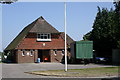
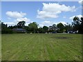
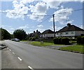

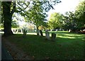
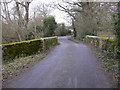
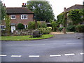
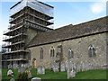
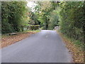
67 photos from this area
Area Information
Key information about the RH14 0NA including its size, population, and administrative classification.
- Area Type
- Postcode
- Area Size
- 3.3 hectares
- Population
- 1263
- Population Density
- 45 people/km²
House Prices in RH14 0NA
39
Properties
£237,412
Average Sold Price
£26,000
Lowest Price
£475,000
Highest Price
Showing 39 properties
| Address | Type | Beds | Baths | Last Sale Price | Last Sale Date | |
|---|---|---|---|---|---|---|
| 47 Townfield, Kirdford, RH14 0NA | Semi-detached | 4 | 2 | £475,000 | Jul 2025 | |
| 77 Townfield, Kirdford, RH14 0NA | house | - | - | £450,000 | Jun 2024 | |
| 69 Townfield, Kirdford, RH14 0NA | Flat | 1 | 1 | £162,500 | Sep 2023 | |
| 61 Townfield, Kirdford, RH14 0NA | Flat | - | - | £208,000 | May 2022 | |
| 58 Townfield, Kirdford, RH14 0NA | Semi-detached | - | - | £387,000 | Aug 2020 | |
| 57 Townfield, Kirdford, RH14 0NA | house | - | - | £375,000 | Oct 2018 | |
| Wisteria House, 78 Townfield, Kirdford, RH14 0NA | Semi-detached | 4 | 2 | £397,500 | Feb 2018 | |
| 49 Townfield, Kirdford, RH14 0NA | house | - | - | £347,500 | Jan 2016 | |
| 52 Townfield, Kirdford, RH14 0NA | house | - | - | £295,000 | Aug 2015 | |
| Bloomfield, 75A Townfield, Kirdford, RH14 0NA | Detached | 4 | 2 | £274,000 | Aug 2010 |
Page 1 of 4
Energy Efficiency in RH14 0NA
Amenities
Schools
| Rank | School | Type | Entry gender | Ages |
|---|
Explore more schools in this area
Go to Schools tabDemographics
Household Size
Two person
most common
Accommodation Type
Houses
most common
Tenure
69
majority
Ethnic Group
White
most common
Religion
N/A
most common
Household Composition
N/A
most common
Age
47
median
Adults (30-64 years)
most common
Household Deprivation
N/A
with no deprivation
NS-SEC
40
in Lower managerial occupations
Explore more demographic insights in this area
Go to Demographics tabPlanning
Planning Constraints
- Flood RiskPremium
- Ramsar Wetland SitesPremium
- Area of Outstanding Natural BeautyPremium
- Protected Nature ReservePremium
- Protected WoodlandPremium