Area Overview for RH12 5PQ
Photos of RH12 5PQ
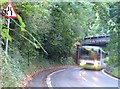
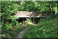
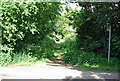
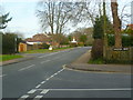
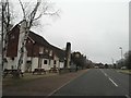
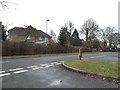
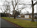
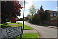
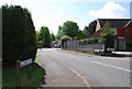
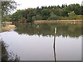
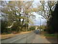
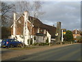
24 photos from this area
Area Information
Key information about the RH12 5PQ including its size, population, and administrative classification.
- Area Type
- Postcode
- Area Size
- 6386 m²
- Population
- 1900
- Population Density
- 4582 people/km²
House Prices in RH12 5PQ
7
Properties
£581,250
Average Sold Price
£315,000
Lowest Price
£800,000
Highest Price
Showing 7 properties
| Address | Type | Beds | Baths | Last Sale Price | Last Sale Date | |
|---|---|---|---|---|---|---|
| Camellias, 20 North Heath Lane, Horsham, RH12 5PQ | house | - | - | £800,000 | Nov 2020 | |
| Flagstones, North Heath Lane, Horsham, RH12 5PQ | Detached | 5 | 2 | £745,000 | Dec 2019 | |
| Honor Oak, 18 North Heath Lane, Horsham, RH12 5PQ | Detached | 5 | 3 | £465,000 | Dec 2005 | |
| Grey Walls, 16 North Heath Lane, Horsham, RH12 5PQ | Detached | - | - | £315,000 | Nov 2004 | |
| Development Site At Former Vivians, North Heath Lane, Horsham, RH12 5PQ | Detached | - | - | - | - | |
| Greenwood, 14 North Heath Lane, Horsham, RH12 5PQ | Bungalow | - | - | - | - | |
| Copperleaf, 22 North Heath Lane, Horsham, RH12 5PQ | house | - | - | - | - |
Energy Efficiency in RH12 5PQ
Amenities
Schools
| Rank | School | Type | Entry gender | Ages |
|---|
Explore more schools in this area
Go to Schools tabDemographics
Household Size
Family (3-5 people)
most common
Accommodation Type
Houses
most common
Tenure
80
majority
Ethnic Group
White
most common
Religion
N/A
most common
Household Composition
N/A
most common
Age
47
median
Adults (30-64 years)
most common
Household Deprivation
N/A
with no deprivation
NS-SEC
49
in Lower managerial occupations
Explore more demographic insights in this area
Go to Demographics tabPlanning
Planning Constraints
- Flood RiskPremium
- Ramsar Wetland SitesPremium
- Area of Outstanding Natural BeautyPremium
- Protected Nature ReservePremium
- Protected WoodlandPremium