Area Overview for RH1 5JB
Photos of RH1 5JB
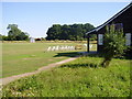
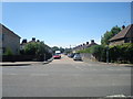
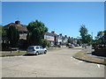
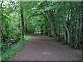
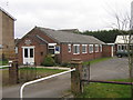
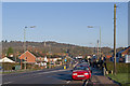
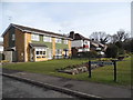
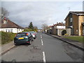
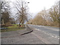
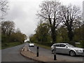
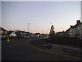
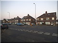
59 photos from this area
Area Information
Key information about the RH1 5JB including its size, population, and administrative classification.
- Area Type
- Postcode
- Area Size
- 6824 m²
- Population
- 1722
- Population Density
- 739 people/km²
House Prices in RH1 5JB
24
Properties
£202,750
Average Sold Price
£59,000
Lowest Price
£342,500
Highest Price
Showing 24 properties
| Address | Type | Beds | Baths | Last Sale Price | Last Sale Date | |
|---|---|---|---|---|---|---|
| 10 Heston Walk, Redhill, RH1 5JB | Retail | 3 | 1 | £342,500 | May 2022 | |
| 40 Heston Walk, Redhill, RH1 5JB | Terraced | 3 | - | £340,000 | Nov 2016 | |
| 46 Heston Walk, Redhill, RH1 5JB | house | 3 | - | £215,000 | Dec 2012 | |
| 42 Heston Walk, Redhill, RH1 5JB | Terraced | 3 | 1 | £180,000 | Sep 2006 | |
| 36 Heston Walk, Redhill, RH1 5JB | Terraced | - | - | £80,000 | Dec 1998 | |
| 12 Heston Walk, Redhill, RH1 5JB | Terraced | - | - | £59,000 | Apr 1995 | |
| 2 Heston Walk, Redhill, RH1 5JB | house | - | - | - | - | |
| 4 Heston Walk, Redhill, RH1 5JB | house | - | - | - | - | |
| 22 Heston Walk, Redhill, RH1 5JB | Flat | - | - | - | - | |
| 30 Heston Walk, Redhill, RH1 5JB | Flat | - | - | - | - |
Page 1 of 3
Energy Efficiency in RH1 5JB
Amenities
Schools
| Rank | School | Type | Entry gender | Ages |
|---|
Explore more schools in this area
Go to Schools tabDemographics
Household Size
Family (3-5 people)
most common
Accommodation Type
Houses
most common
Tenure
71
majority
Ethnic Group
White
most common
Religion
N/A
most common
Household Composition
N/A
most common
Age
47
median
Adults (30-64 years)
most common
Household Deprivation
N/A
with no deprivation
NS-SEC
37
in Lower managerial occupations
Explore more demographic insights in this area
Go to Demographics tabPlanning
Planning Constraints
- Flood RiskPremium
- Ramsar Wetland SitesPremium
- Area of Outstanding Natural BeautyPremium
- Protected Nature ReservePremium
- Protected WoodlandPremium