Area Overview for RH1 2LB
Photos of RH1 2LB

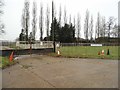
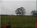
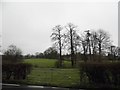

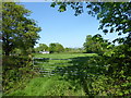
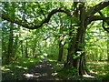
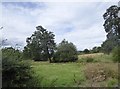
53 photos from this area
Area Information
Key information about the RH1 2LB including its size, population, and administrative classification.
- Area Type
- Postcode
- Area Size
- 2.4 hectares
- Population
- 1492
- Population Density
- 3581 people/km²
House Prices in RH1 2LB
43
Properties
£306,420
Average Sold Price
£84,000
Lowest Price
£670,000
Highest Price
Showing 43 properties
| Address | Type | Beds | Baths | Last Sale Price | Last Sale Date | |
|---|---|---|---|---|---|---|
| 69 Fairhaven Road, Redhill, RH1 2LB | Semi-detached | 3 | 1 | £525,000 | Aug 2025 | |
| 19 Fairhaven Road, Redhill, RH1 2LB | Semi-detached | 3 | 1 | £650,000 | Mar 2025 | |
| 29 Fairhaven Road, Redhill, RH1 2LB | Semi-detached | 3 | 1 | £515,000 | Aug 2024 | |
| 81 Fairhaven Road, Redhill, RH1 2LB | house | - | - | £670,000 | Mar 2022 | |
| 33 Fairhaven Road, Redhill, RH1 2LB | Semi-detached | 3 | - | £540,000 | Jun 2021 | |
| 67 Fairhaven Road, Redhill, RH1 2LB | Semi-detached | 3 | 1 | £415,000 | Mar 2018 | |
| 65 Fairhaven Road, Redhill, RH1 2LB | house | 3 | 1 | £350,000 | Dec 2014 | |
| 77 Fairhaven Road, Redhill, RH1 2LB | Semi-detached | 3 | - | £285,000 | Jul 2013 | |
| 73 Fairhaven Road, Redhill, RH1 2LB | house | 3 | - | £250,000 | Jan 2013 | |
| 23 Fairhaven Road, Redhill, RH1 2LB | Semi-detached | 3 | - | £260,000 | Dec 2009 |
Page 1 of 5
Energy Efficiency in RH1 2LB
Amenities
Schools
| Rank | School | Type | Entry gender | Ages |
|---|
Explore more schools in this area
Go to Schools tabDemographics
Household Size
Family (3-5 people)
most common
Accommodation Type
Houses
most common
Tenure
60
majority
Ethnic Group
White
most common
Religion
N/A
most common
Household Composition
N/A
most common
Age
47
median
Adults (30-64 years)
most common
Household Deprivation
N/A
with no deprivation
NS-SEC
38
in Lower managerial occupations
Explore more demographic insights in this area
Go to Demographics tabPlanning
Planning Constraints
- Flood RiskPremium
- Ramsar Wetland SitesPremium
- Area of Outstanding Natural BeautyPremium
- Protected Nature ReservePremium
- Protected WoodlandPremium