Area Overview for RG9 1DY
Photos of RG9 1DY
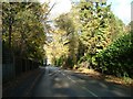
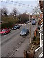
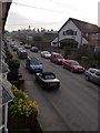
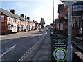
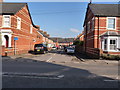
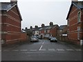
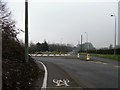
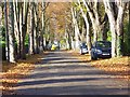
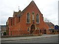
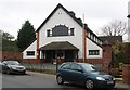
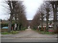
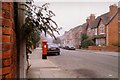
100 photos from this area
Area Information
Key information about the RG9 1DY including its size, population, and administrative classification.
- Area Type
- Postcode
- Area Size
- 3777 m²
- Population
- 1596
- Population Density
- 2142 people/km²
House Prices in RG9 1DY
19
Properties
£417,815
Average Sold Price
£248,000
Lowest Price
£702,500
Highest Price
Showing 19 properties
| Address | Type | Beds | Baths | Last Sale Price | Last Sale Date | |
|---|---|---|---|---|---|---|
| 5 Boston Road, Henley On Thames, RG9 1DY | Terraced | 2 | 1 | £630,000 | Feb 2025 | |
| 13 Boston Road, Henley On Thames, RG9 1DY | Terraced | 2 | 1 | £532,500 | Jan 2023 | |
| 1 Boston Road, Henley On Thames, RG9 1DY | house | 3 | 1 | £620,000 | Mar 2021 | |
| 8 Boston Road, Henley On Thames, RG9 1DY | Terraced | 3 | 1 | £440,000 | Sep 2020 | |
| 21 Boston Road, Henley On Thames, RG9 1DY | Terraced | 4 | 2 | £702,500 | Dec 2018 | |
| 6 Boston Road, Henley On Thames, RG9 1DY | Terraced | 2 | - | £380,000 | Jan 2015 | |
| 9 Boston Road, Henley On Thames, RG9 1DY | Terraced | 2 | - | £425,000 | Jul 2014 | |
| 17 Boston Road, Henley On Thames, RG9 1DY | Terraced | 3 | - | £410,000 | Apr 2014 | |
| 19 Boston Road, Henley On Thames, RG9 1DY | Terraced | 3 | 1 | £310,000 | Sep 2011 | |
| 15 Boston Road, Henley On Thames, RG9 1DY | house | - | - | £332,500 | Jun 2009 |
Page 1 of 2
Energy Efficiency in RG9 1DY
Amenities
Schools
| Rank | School | Type | Entry gender | Ages |
|---|
Explore more schools in this area
Go to Schools tabDemographics
Household Size
One person
most common
Accommodation Type
Houses
most common
Tenure
58
majority
Ethnic Group
White
most common
Religion
N/A
most common
Household Composition
N/A
most common
Age
47
median
Adults (30-64 years)
most common
Household Deprivation
N/A
with no deprivation
NS-SEC
45
in Lower managerial occupations
Explore more demographic insights in this area
Go to Demographics tabPlanning
Planning Constraints
- Flood RiskPremium
- Ramsar Wetland SitesPremium
- Area of Outstanding Natural BeautyPremium
- Protected Nature ReservePremium
- Protected WoodlandPremium